Surface observations from U. Wyoming
Current and past Weather Conditions from NWS
National Weather Service Office
The Weather Channel - U.S. Satellite Picture
Interpolated Model numerical guidance
Penn State's local NCWFC Web Site
NCWFC Official site (Penn State)
University of Wisconsin-Madison's NFC Homepage
Previous Day's Conditions NCWFC city
Surface observations from Univ Wyoming
Previous Day's Conditions for KBGM
The Weather Center (Everything!)
Michael'sWeather Page (CNN radar,sat,etc)
RogerBrugge's homepage (World summary +++)
Western Region Headquarters Home Page
Americas Weather Surface Map Page
The California Regional Weather Server
APR(great surface, severe, everything)
Storm Prediction Center Convective Outlooks
NCEP/SPC- Tornado and Severe Weather Reports - 24 hrs
Severe_Weather_Reports- last few hours only
BackupSevere Thunderstorm Reports
Texas A&M Meteorology Weather Center
Texas A&M Severe Weather Watches and Warnings Page
SKYWARN Texas Weather: Models & Maps
TheWeather Channel - Travel Conditions - Thunderstorms
Silver Lining Storm Chasing Tours
Real-Time Weather Data: Model Page
Latest Model Analyses and fcsts (S. Plains)
Storm Prediction Center Yesterday's Storm Reports
Australian Severe Weather - main index
Weather Underground: US Severe Weather Map
United States RadarSummary by Intellicast.com
TheWeather Channel - U.S. Weather
Air Resources Lab: Archived Maps
Real-Time Weather Data: Surface Page
CurrentWest Texas Weather Information
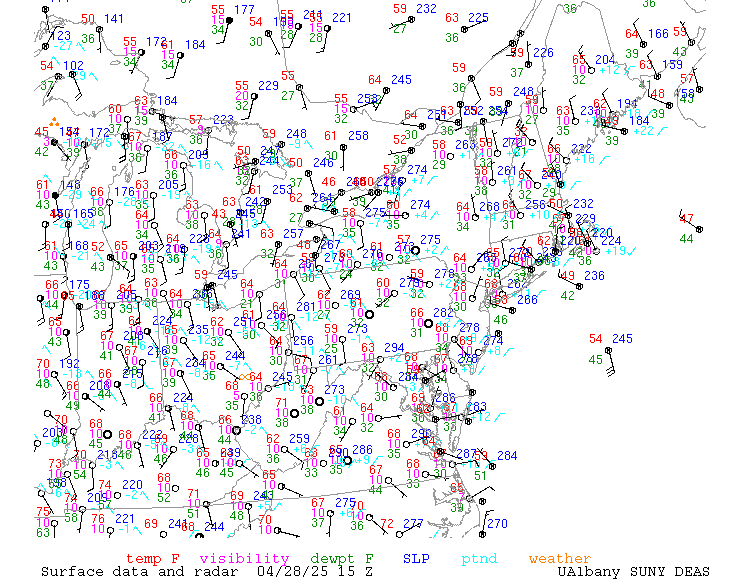
Local Surface maps from SUNY-Albany
GreatLakes surface temperatures
Michigan Sea Grant Coastwatch Lake Ontario Homepage
Sea Grant Coastwatch (L. Ontario temps)
BIG (2 MB!) complete U.S. surface with data
USWX : Weather -> NY -> Otsego (NY046)
Unisys Weather: Satellite Images
Satellite Imagery from NASA GHCC
NOAA/FSL Satellite National Image Loops
SatelliteImages (Ohio-State with archive)
NCDCHistorical GOES Browse Server (ARCHIVE)
GOES-WEST Infrared Satellite Imagery
Tropical Atlantic (Ohio State)
Antarctic satellite images from Univ Wisc
WeatherChannel U.S. IR satellite
McIDASDemo (sat. images and LOOPS)
NRL Monterey Satellite, Rainrate, training, etc.
Univ Washington with 1-week ARCHIVE
Univ Wyoming (click on image to zoom to NE)
North Pole IR (may be several days old)
United States - Intellicast Radar
Binghamton, New York - Intellicast Radar
CNN - Weather: U.S. Northeast (animated)
National Weather Service Doppler Radars
NWS Doppler Radar - National Mosaic
Meteostar (loops, other weather data)
Images may be toggled to radial vel
RADAR - National - Environment Canada's Green Lane
USAJOBS- United States Office Of Personnel Management
GreatLakes surface temperatures
NWSFONorman - Point 'n Click Weather
NCEP Hydrometeorological Prediction Center
Model Information from NWS BGM
NOAA Great Lakes Environmental Research Laboratory
Northeast Regional Climate Center
Northeast River Forecast Center
National Weather Service Home Page -U.S. Government warnings & forecasts
TDL: Synoptic Scale Techniques Branch
National Weather Service Publications
USGOV/Dept. of Commerce/NOAA/National Weather Service/OST/Meteorological Development Laboratory
Environmental Modeling Center, NWS
Environment Canada's Green Lane
HPC Current Products (SFC PROGS)
HPC - Hydrometeorological Prediction Center
Unisys 4-panel ETA surface fcst
Unisys 4-panel ETA 300 mb fcst
Unisys 4-panel ETA 500 mb fcst
4-panel NGM surface fcst (Unisys)
6-panel AVN surface fcst (Unysis)
Unisys Weather: MRF Model Forecasts
Unisys Weather: 10day MRF SL Pres/Prec Plot
Trajectory Forecasts for Northeast (text)
Direct Eta output for BGM (slow)
Penn State / NCAR Mesoscale Model (MM5) Forecast Maps
NASA GHCC Real-time MM5 Weather Model - United States
MRF 3.5 day forecast (4 panel)
moreweather.com - NWP (from: U. of Wisc.)
Numerical Weather Prediction Link Page
Real-Time Weather Data: Model Page
NortheasternUS Weather Page (Penn State)
Environmental Modeling Center, NWS
EMC: Precipitation skill scores for operational models
NIUREAL-TIME MODEL VERIFICATION
Air Resources Lab (models, animations)
Dan's Evil Weather Page - Models
STORM MACHINE FORECAST SOUNDINGS
Otsego county warnings/weather graphics
Environment Canada (maps, fcsts, models)
University of Wisconsin Atmospheric and Oceanic Sciences - Weather
NortheasternUS Weather Page (Penn State)
McGillWeather Homepage (Canadian)
ALBANYWEATHER: SUNY ALBANY EARTH AND ATMOSPHERIC SCIENCES
SurfaceObservations - Weather Visualizer (UIUC)
PlymouthState College Weather Center
Universityof Hawaii Meteorology
TexasA&M Meteorology Weather Center
OhioState (upper air, satellite, NEXRAD)
University of Washington (surface map archive)
BrockportEarth Sciences Homepage
FSUMeteorology Weather Graphics
Saint Louis Univ (isentropic maps/xscts)
NationalHurricane Center/Tropical Prediction Center
University of Hawaii Tropical Meteorology
AtlanticTropical Weather Center
PSC Weather Center Tropical Weather Menu
WeatherUnderground: Tropical Weather (SST map)
The Weather Channel - Caribbean
The Weather Channel - Tropical Atlantic Satellite
NRL Satellite Photo /archive_data/sat/www/mediterranean/sahara/ir/LATEST.jpg tropics
NRL Monterey Dev Tropical Cyclone Homepage
NOAA/NESDIS Tropical Satellite Imagery - Atlantic Ocean and Gulf of Mexico
Atlantic Track (current storm only)
REAL-TIMEWEATHER: UPPER-AIR DATA
Upper Air Images (Ohio State Univ)
Sounding archive 1999-2000 only
GOES Soundings - Selected Locations
Unisys Weather: Upper Air Data
290K isentropic chart (others available)
Canadian and North U.S. Ltg strikes
NEXRAD Radar and Lightning Fusion Products
Lightning by Stormguy (iphotos)
Ltg detect in deep south (AL-MS-TN-GA)
Convective Development (Minnesota+Wisc)
300 mile radius From Tampa Florida
dbtech.net (300 mi radius centered on Alabama)
Weather Web - Lightning Network (clickable map)
United States National Lightning by Intellicast.com
KCRG TV9 Lightning Tracker (Iowa closeup)
USAJOBS - United States Office Of Personnel Management
National Weather Association Job Corner
THEWEATHERCASTER (TV job listing + info)
Environmental Jobs and Careers
GraphingOptions For US Summary of the Day Stations
NCDC: Locate Weather Observation Station Record
Global Climate Highlights & Anomalies
US Climate Divisions Plotting Page
NASA GISS: Surface Temperature: Maps
League of Conservation Voters: National Environmental Scorecards
Plain English Guide to The Clean Air Act
Nat'l Academy Press, Climate Change Science: (2001), Table of Contents
Environmental News Network - ENN.com
National Weather Service Binghamton, NY: Current Weather Conditions
Color Landform Atlas of the United States
TheGreat Lakes Forecasting System
The Weather Catalog -- Weather Cams and Links
OpticalTransient Detector (Lightning Detector in Space)
MainMenu Spotters Guide -- UIUC Electronic Textbook
Personal AccuWeather Main Weather Page - ONEONTA
CRWS California Subregional Weather Map Menu
APOD: 2000 February 26 - Impact: 65 Million Years Ago
PHYS-255 Meteorology UW-Stout Physics Department
The Fujita Scale of Tornado Intensity