Web Page for the Anza Borrego Field Trip, 2012
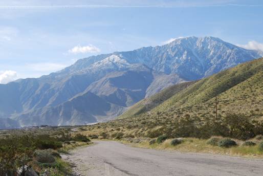
SUNY Oneonta’s Foray into
the Southern California wilderness
Items to check out:
GPS coordinates of field
stops, local
stores, and emergency
care locations. These files can be downloaded (right click and save as…),
opened with Garmin’s MapSource software, then uploaded to your GPS unit via
USB, if you’re using the Garmin Rino 530 HCX. If you have the Garmin Oregon,
you can copy and paste these files directly into the Garmin/GPX folder on the
GPS unit via the USB connection.
Syllabus
(it’s also included in the Field Trip Guidebook)
Checklist
of useful items (it’s also included in the Field Trip Guidebook)
Emergency
contact information for the trip leaders, including cell phone and
satellite phone (it’s also included in the Field Trip Guidebook)
Anza
Borrego Field Trip Guidebook. This has all of the details of the trip.
Print this! It should be printed in color for best results.
Plan on using the topographic maps that have been zoomed in
(usually these have 250 m grid spacing on the map) to about 1:5000 or 1:10000.
For these, I suggest you laminate some extra copies for your field mapping
efforts. Avery makes self-adhesive laminating sheets, available in packages of
50. If you split the cost with a fellow student or two or three, it won’t hit
the pocket book too hard. The laminated sheet is durable, and will hold a
permanent ink marker fairly well. You can also erase the ink, and you will find
that mapping is a very iterative process, so being able to erase and maintain
the integrity of the map is a plus.
You will want to bind the guidebook. I recommend an inexpensive
cardboard cover binder with an adjustable aluminum sliding containment system
(I don’t know what this thing is called!). The cover will help your guidebook
survive in the van beyond the first day.
Links to
papers about the geology that you will find of some interest:
Stratigraphic
record of basin development within the San Andreas fault system: Late Cenozoic
Fish Creek–Vallecito basin, southern California, by Rebecca Dorsey et al.,
2011.
Stratigraphy,
tectonics, and basin evolution in the Anza-Borrego Desert region, by
Rebecca Dorsey, 2005.
Rifting,
transpression, and neotectonics in the central Mecca Hills, Salton Trough,
by Arthur G. Sylvester, 1999.
Page last modified December 28, 2011
Page Created by Les Hasbargen, December 16, 2011
Assistant Professor in Earth & Atmospheric Sciences
SUNY College at Oneonta
hasbarle@oneonta.edu