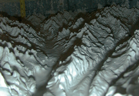
Run 6, near end of run (r/u = 8.4). Tape measure in rear has inches on left side, cm on right. Approximate relief on rear wall is ~4-5 cm.
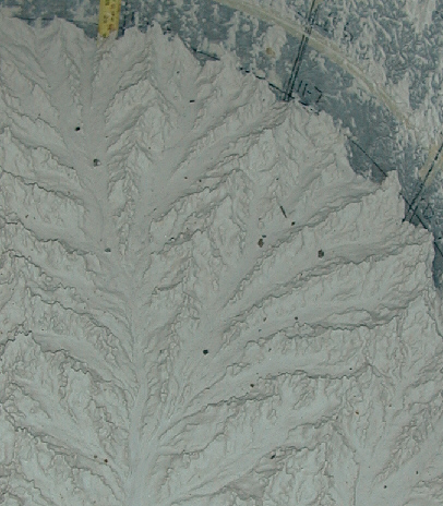
Run 6, after uplift was shut off, and roughness is decaying. Ridge on upper left in top photo is visible as the second ridge from upper left in this photo. There has been about 7 cm of erosion between top photo and this one.
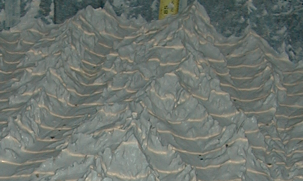
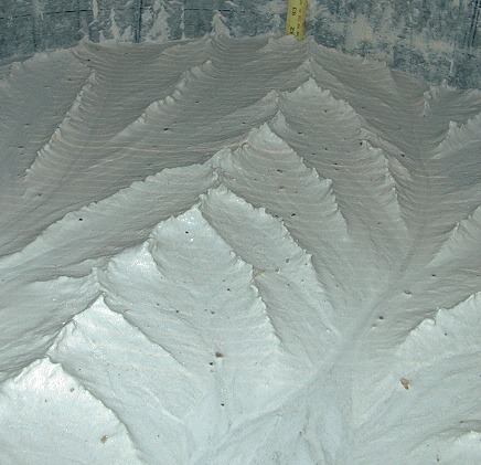
This is a low angle shot nearing the end of Run 5 (r/u = 6.5). A knickpoint is clearly visible is left valley. Note how smooth the valleys are compared to the hillslopes. Ridge crests are very 'peaky'. Valley on the right almost has a 'U-shaped' appearance. Hmmm...Are these streams behaving more like glaciers?! I think it's more likely due to the passage a knickpoint. The photo that follows is more of a plan view (less oblique) of the basin taken at the same time, and gives a better idea of the stream arrangement.
It is difficult to match up the features in the two images, and gives an immediate appreciation of persective and perception. The structure imposed on a basin, i.e., the stream network, is not always obvious from the ground. Processes that shape the landscape are not always apparent from above.
last modified December 26, 2001