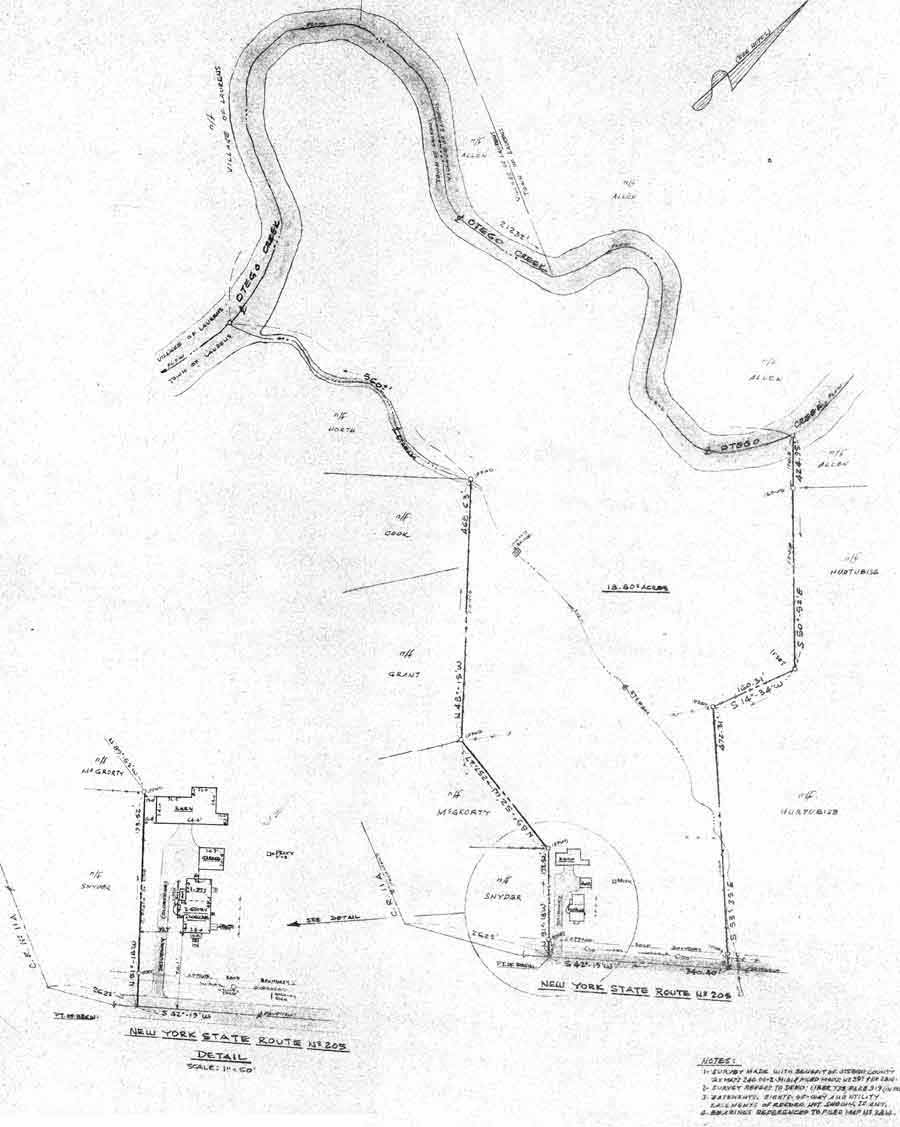
Land Survey and Aerial Photo
Here's an aerial view from 2010 showing the location of the house, orchard,
fields; and a digital version of the survey map. The original map is available.Click the Chicken
to return to photo list.
Land Survey and Aerial Photo
Here's an aerial view from 2010 showing the location of the house, orchard,
fields; and a digital version of the survey map. The original map is available.Click the Chicken
to return to photo list.