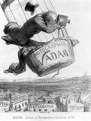
Prof. Paul R. Baumann |
|
The papers, monographs, books, and web sites listed below pertain to the use of remote sensing
and geographic information systems (GIS) in studying the Earth's surface. These items were prepared
over several decades, ranging from the early 1970s to the present, and represent some of my research and instructional endeavors. The items
identified in brown are research in nature; whereas, those in red relate more to instruction.
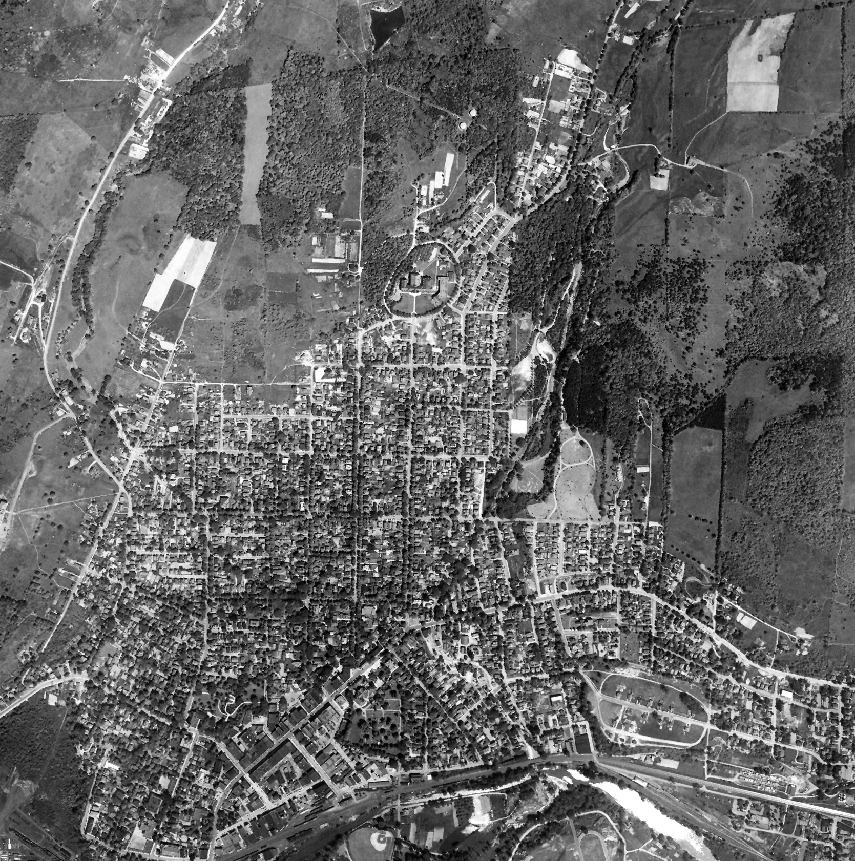
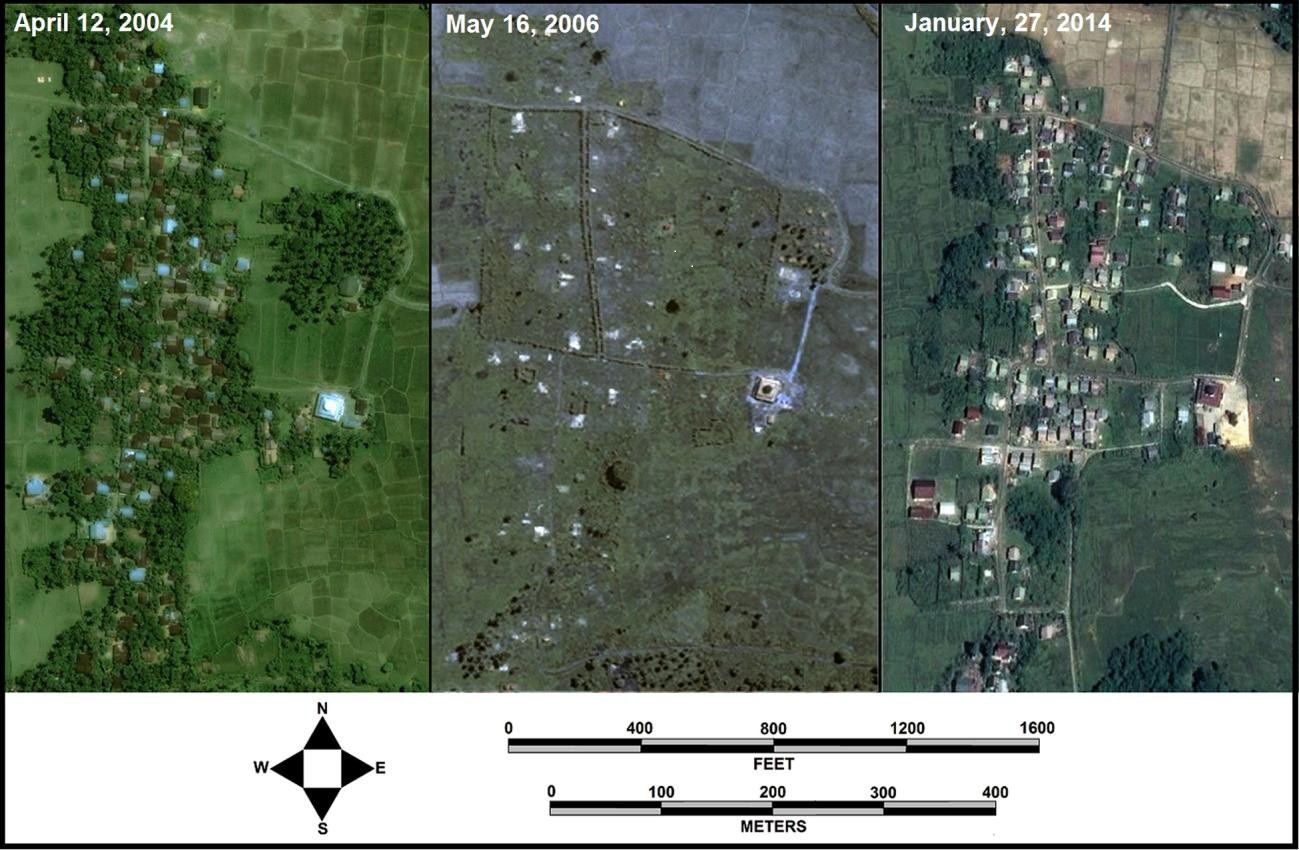
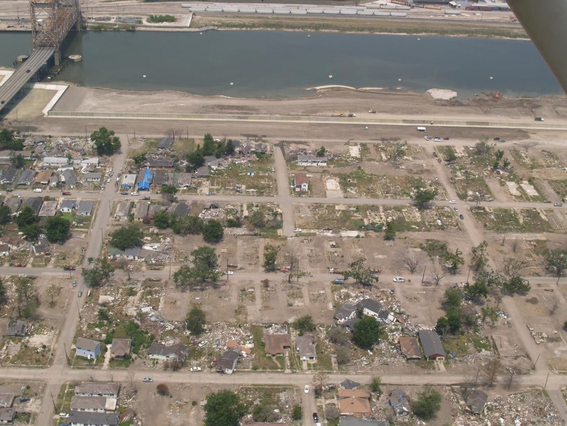
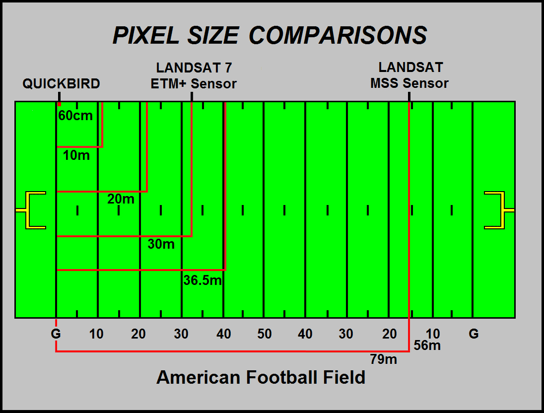
In several cases an instructional module evolved out of a research project. The thumbnails show a remotely sensed image, map, or ground
picture that relate to each paper. To enlarge an image, click on the thumbnail.
Some images are quite large. For many of the items a URL and/or PDF file is available allowing to access an origonal document.
 Paul R. Baumann
http://http://icearth.cnlworld.org/ |
 Paul R. Baumann
http://http://icearth.cnlworld.org/ |
 Paul R. Baumann
http://www.tandfonline.com/doi/abs/10.1080/10106040902781028 |
 Paul R. Baumann
http://icearth.cnlworld.org/ |
 Paul R. Baumann
|
 Paul R. Baumann
|
 Paul R. Baumann
http://http://icearth.cnlworld.org/ |
 Paul R. Baumann
http://http://icearth.cnlworld.org/ |
 Paul R. Baumann
|
 Paul R. Baumann
THE SPANISH LONG-LOTS IN SOUTHWESTERN UNITED STATES Geocarto International Vol. 18, No. 3, October 2003, pp. 73-77. Download PDF File SPACE SPACE |
 Paul R. Baumann
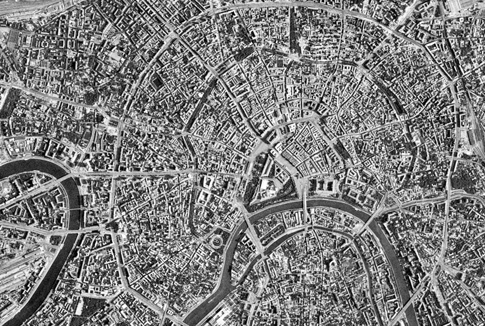
OLD MOSCOW, FROM AFAR Geocarto International Vol. 16, No. 2, June 2001, pp 75-80. Download PDF File SPACE SPACE |
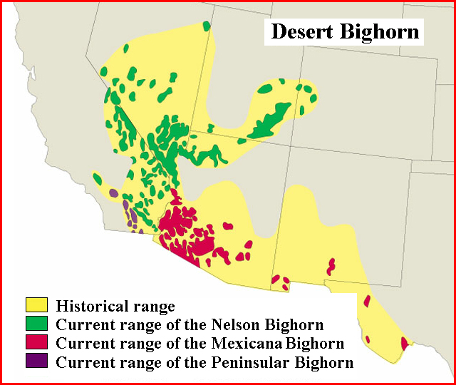
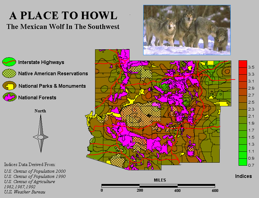
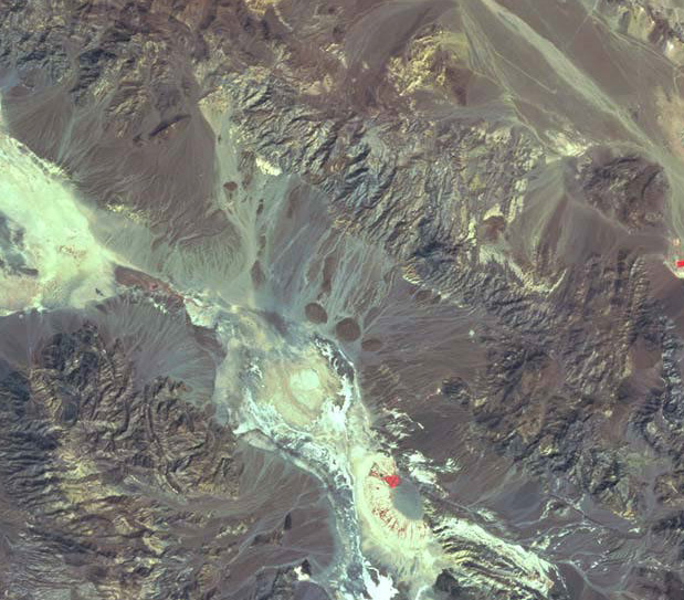
THE ENDANGERED PENINSULAR BIGHORN SHEEP:COACHELLA VALLEY |
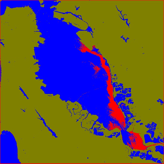
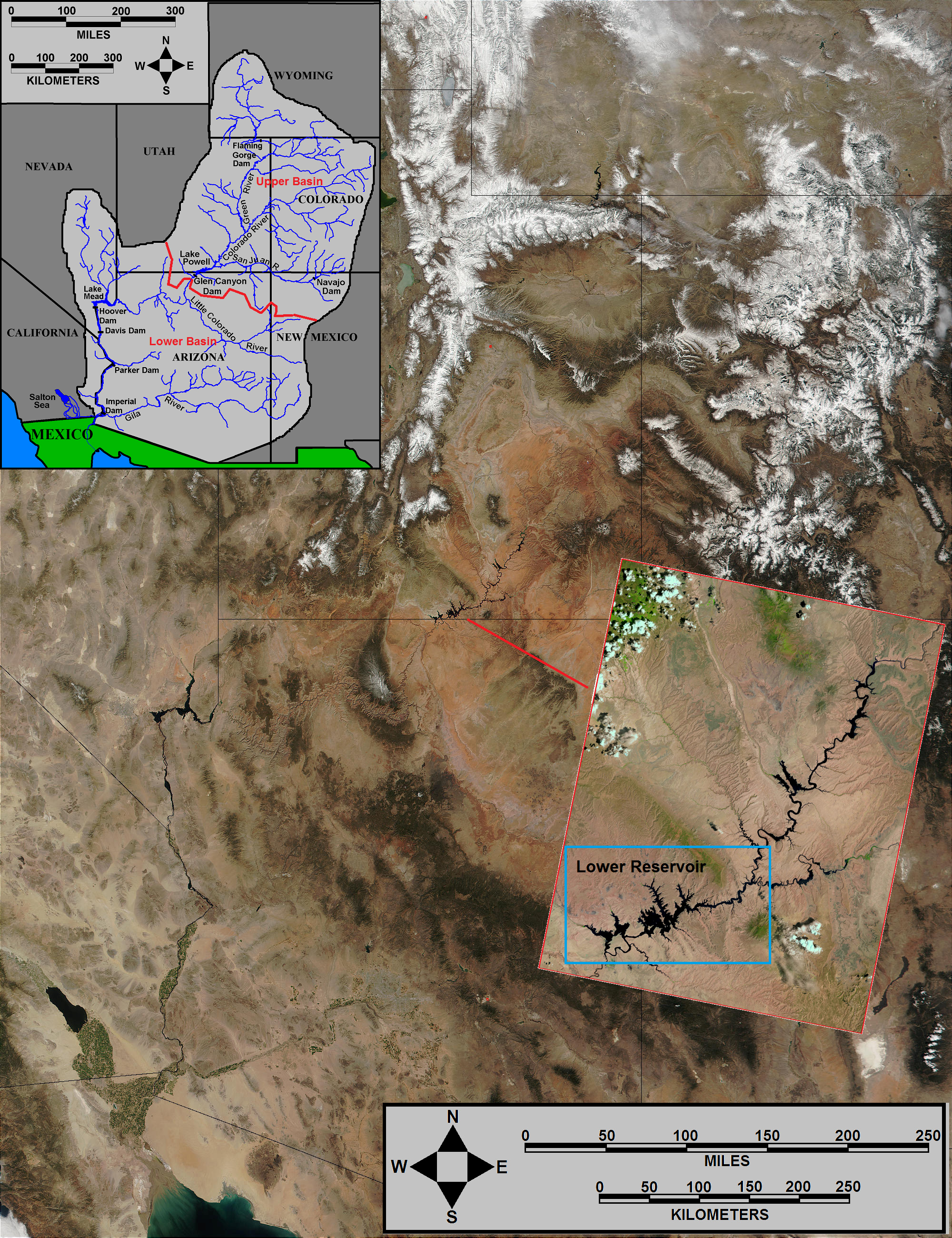
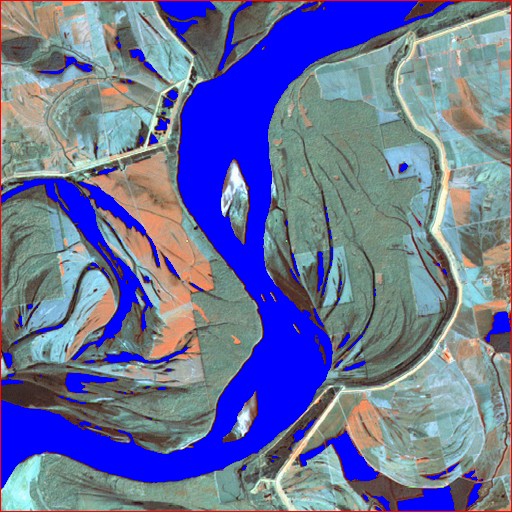
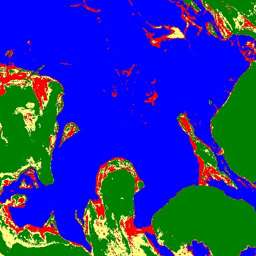
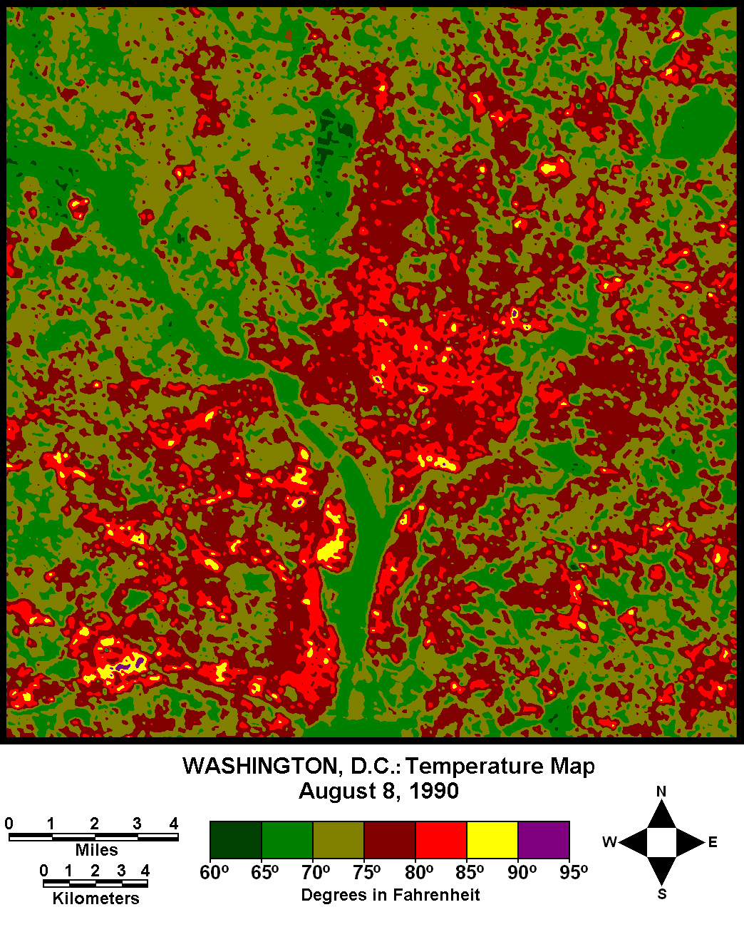
THE SHRINKAGE OF A WATER SURFACE:SAN FRANCISCO BAY |
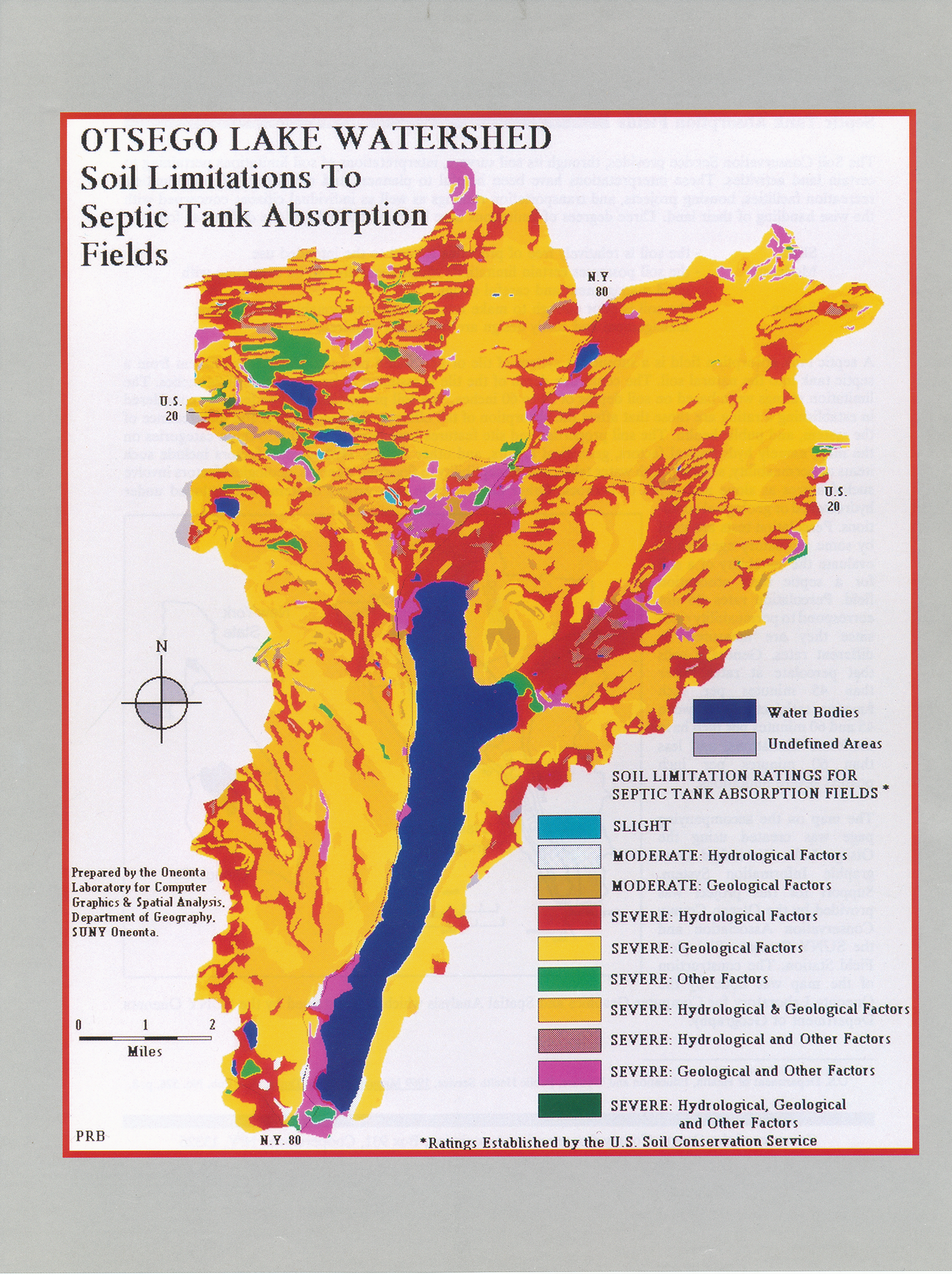
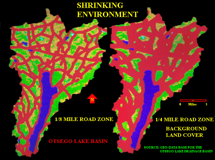
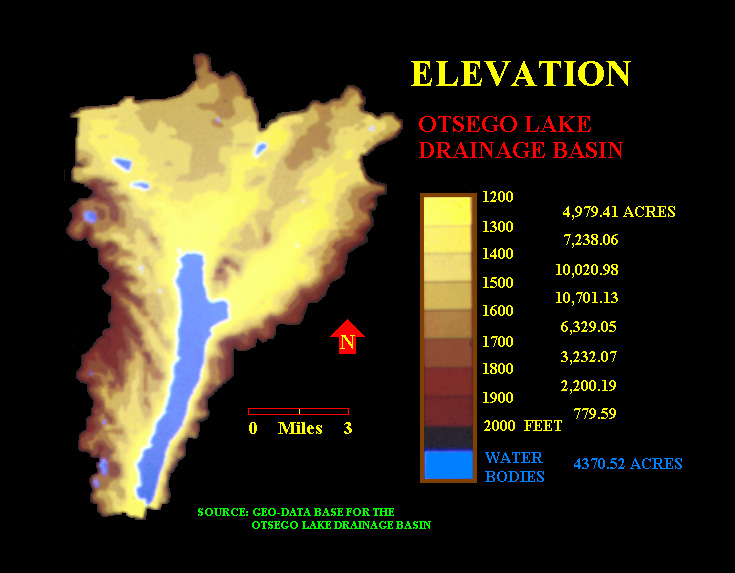
OTSEGO LAKE WATERSHED: SOIL LIMITATIONS TO SEPTIC TANK ABSORPTION Download PDF File |
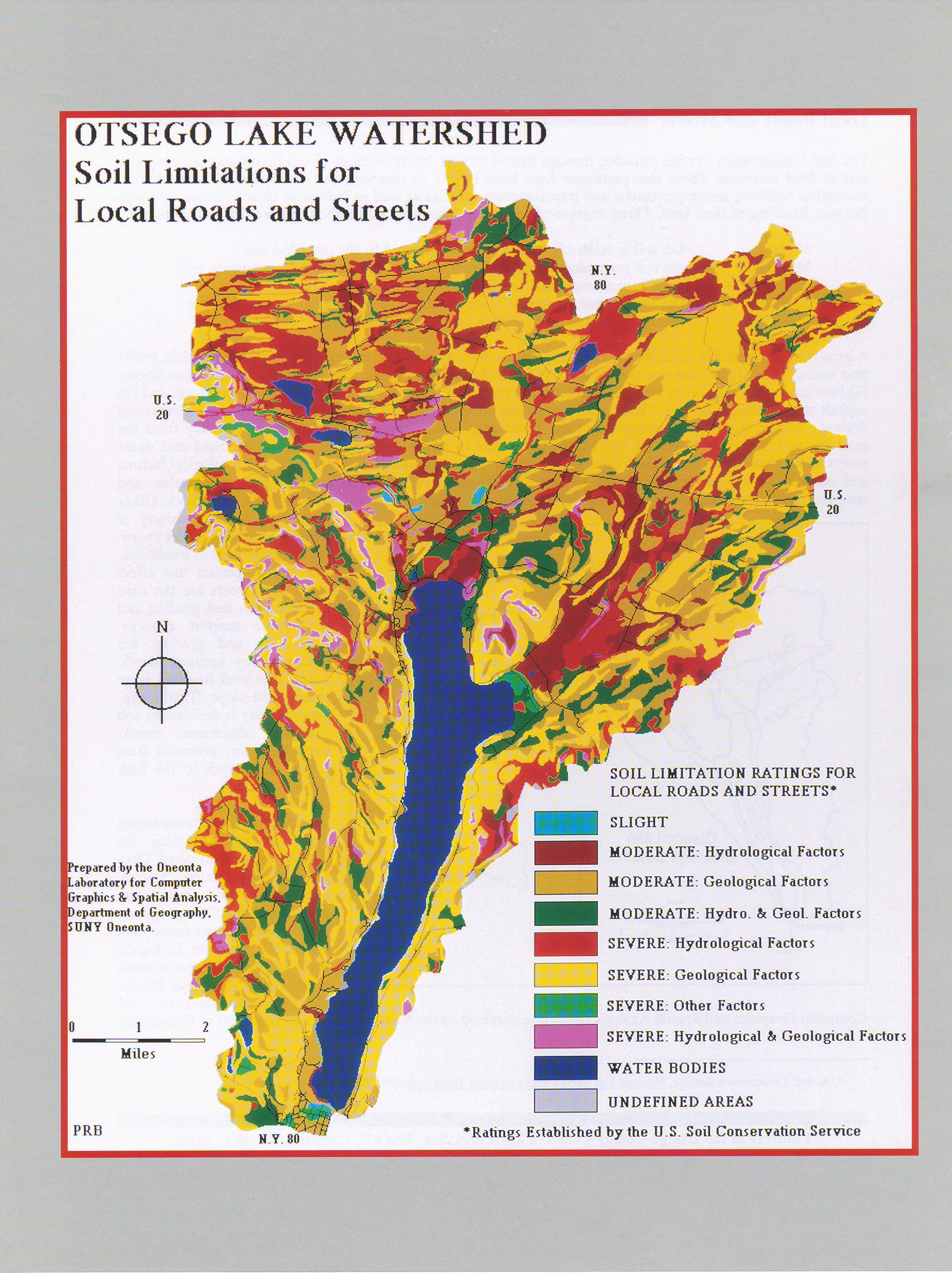
OTSEGO LAKE WATERSHED: SOIL LIMITATIONS FOR LOCAL ROADS AND STREETS Download PDF File |
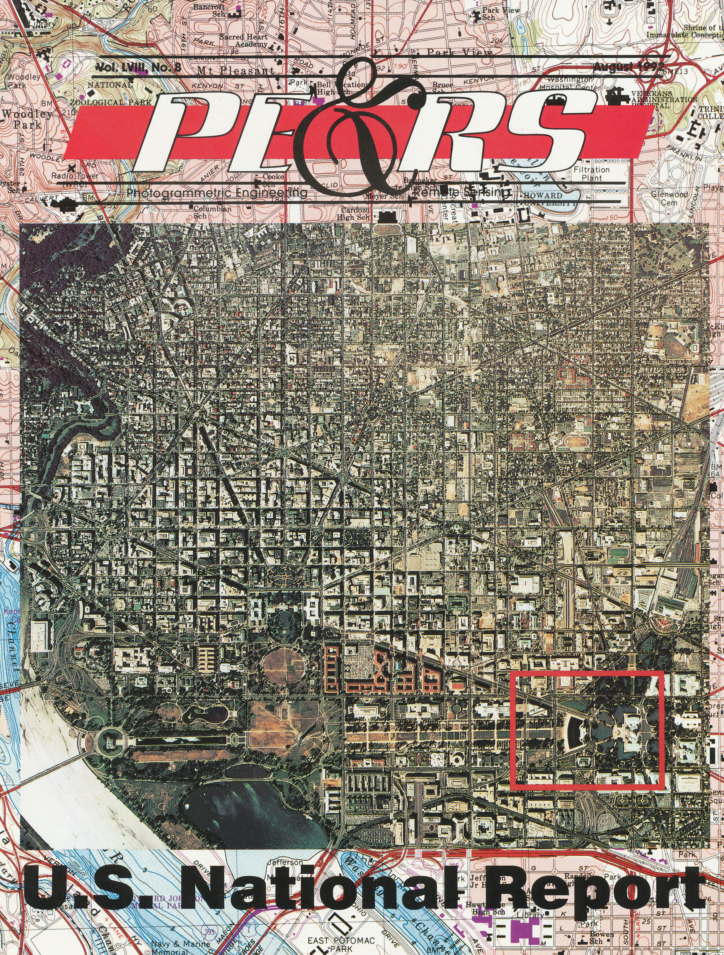
MAP MAKING IN THE INFORMATION AGE |
 Paul R. Baumann, ed.
|
 Paul R. Baumann
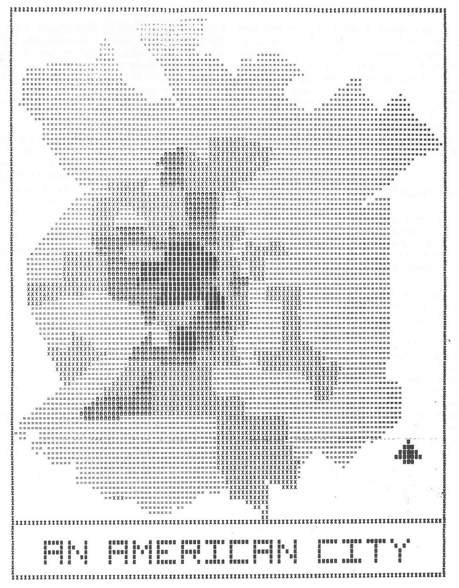
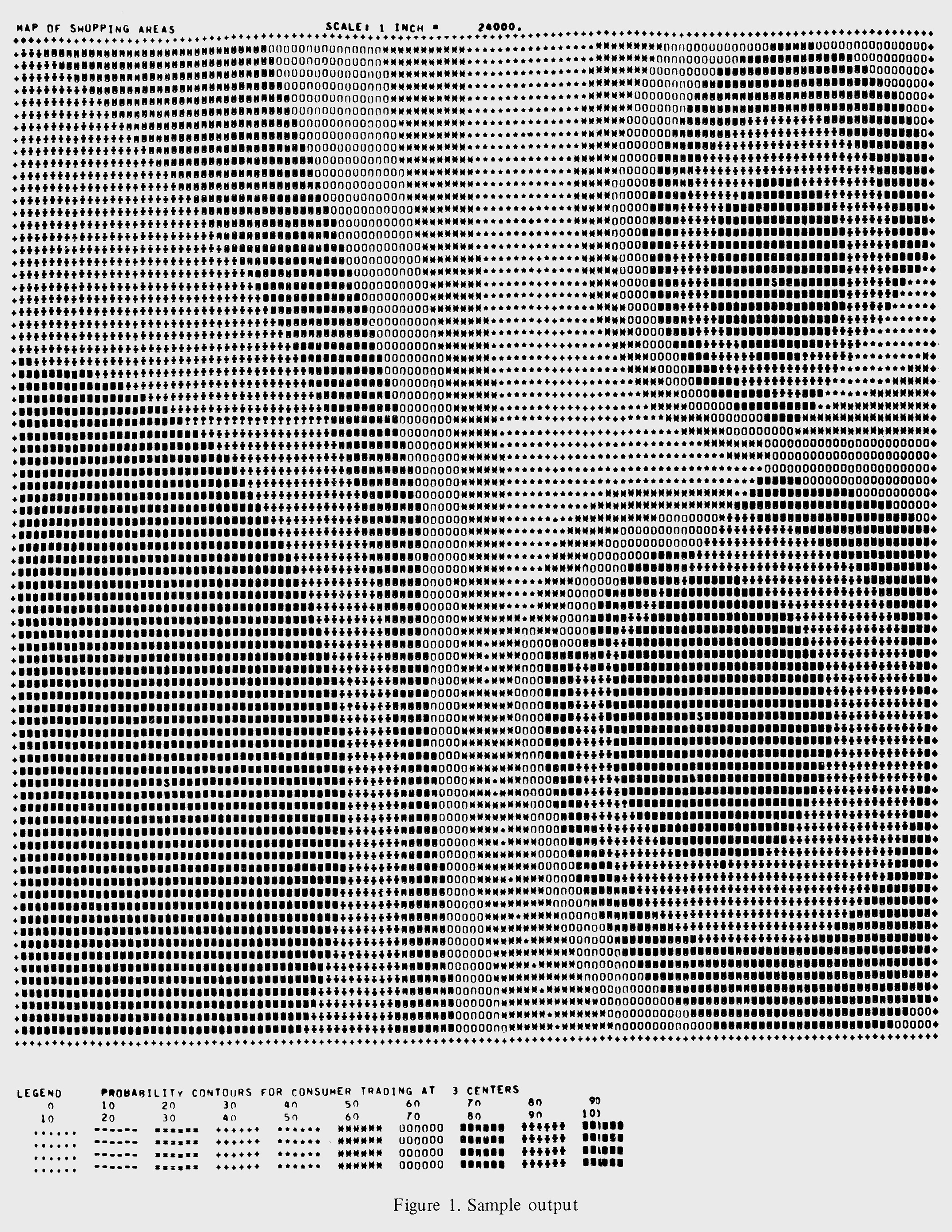
URBAN LAND COVER DETECTION EMPLOYING A WINTER LANDSAT MSS DATA SET Proceedings - AAG Middle States Division Vol. 20 1987 http://msaag.aag.org/wp-content/uploads/2013/04/5_Baumann.pdf |
 Paul R. Baumann
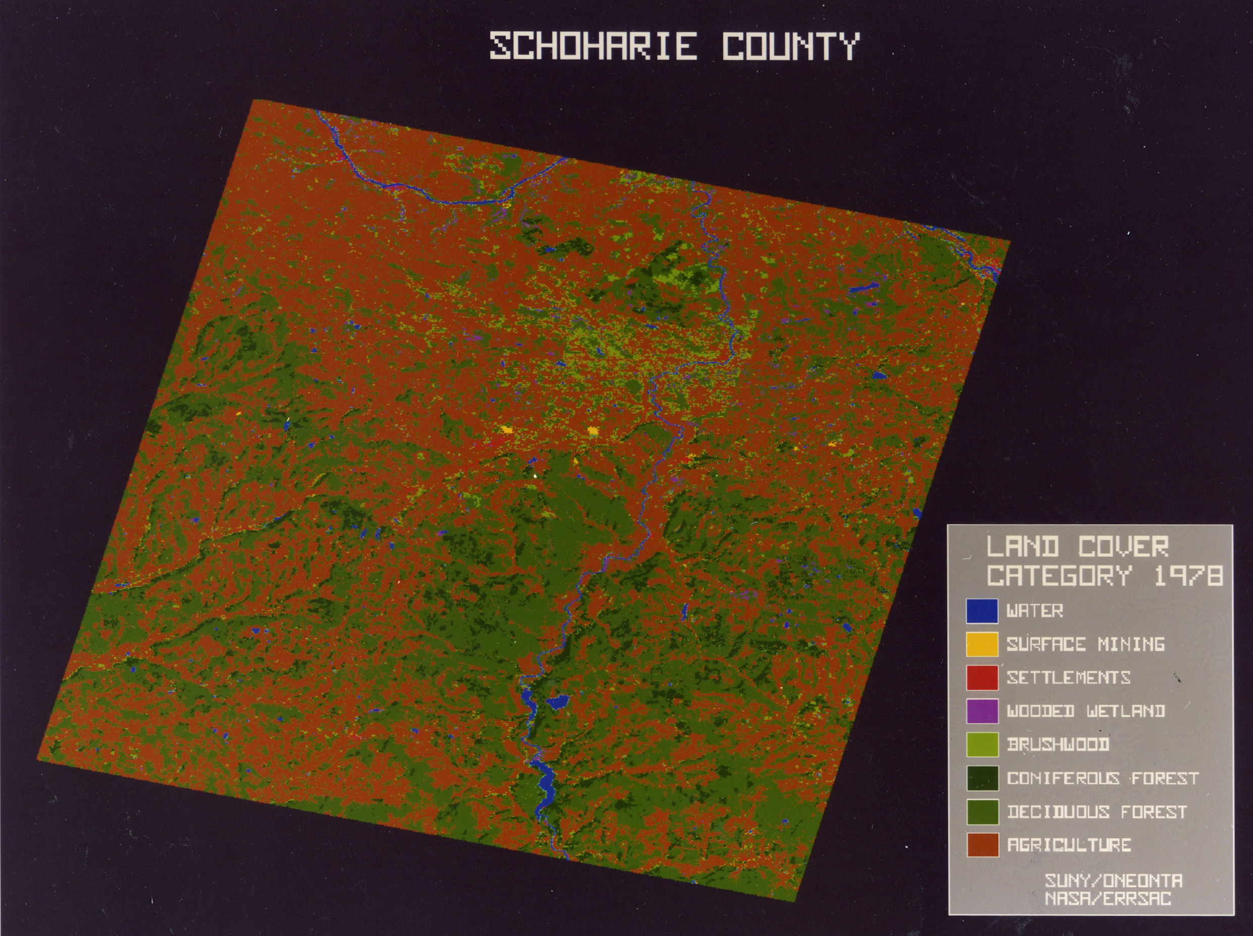
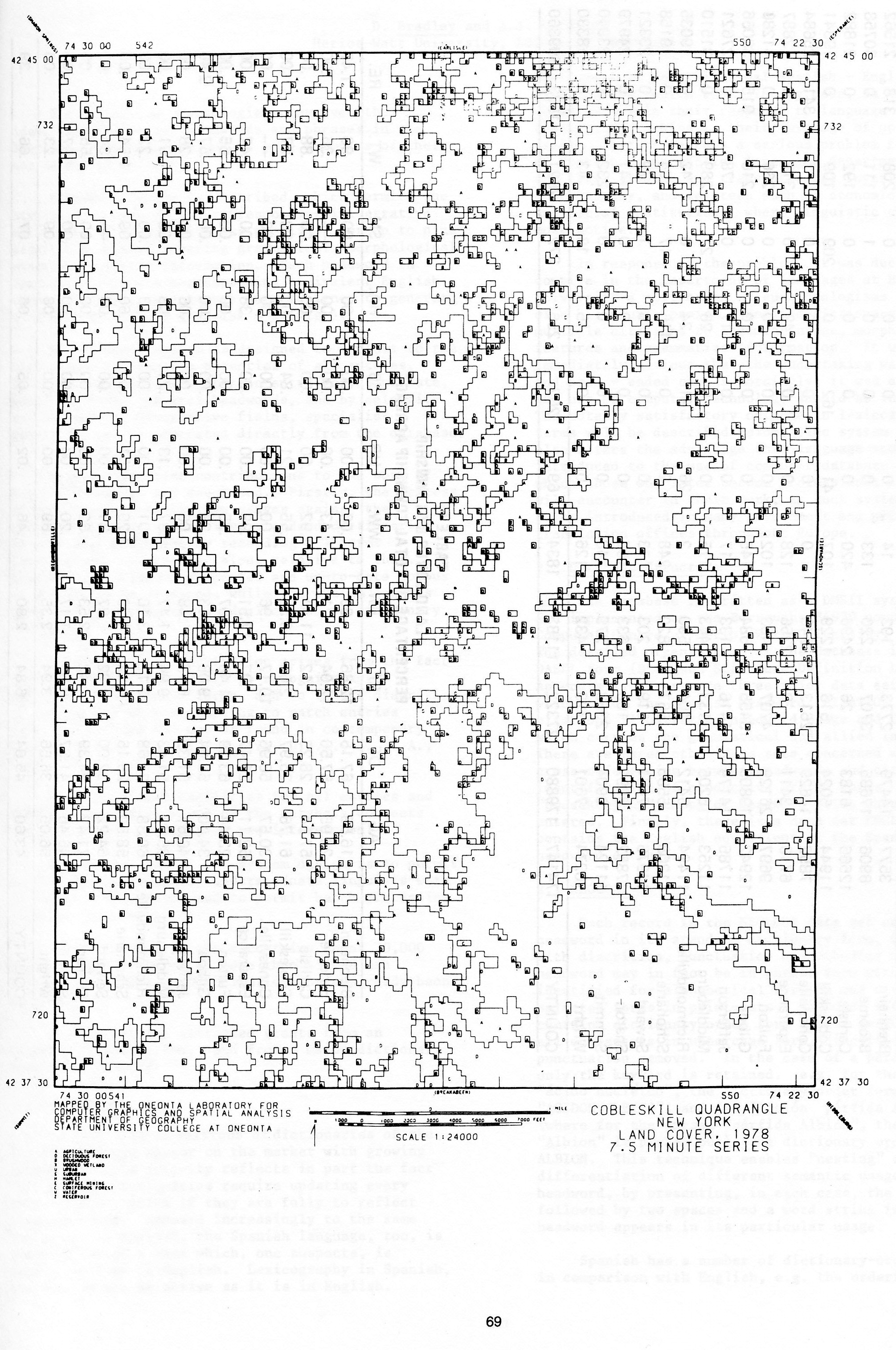
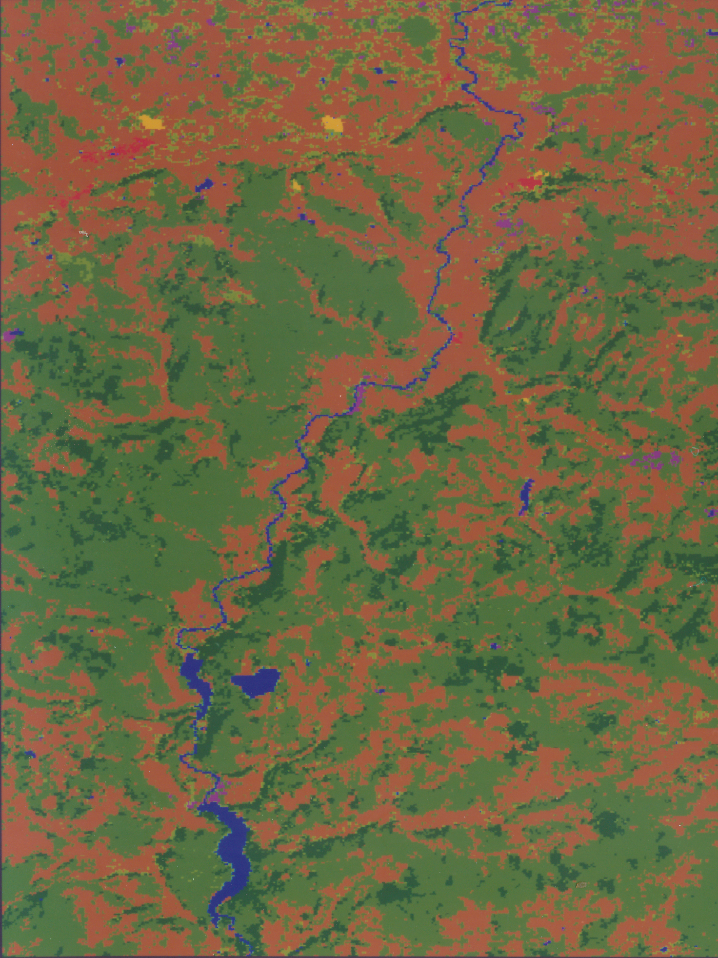
NEW YORK LAND COVER PROJECT: A LANDSAT SURVEY OF SCHOHARIE COUNTY Department of Geography, SUNY Oneonta, 1983 Download PDF File |
 Paul R. Baumann
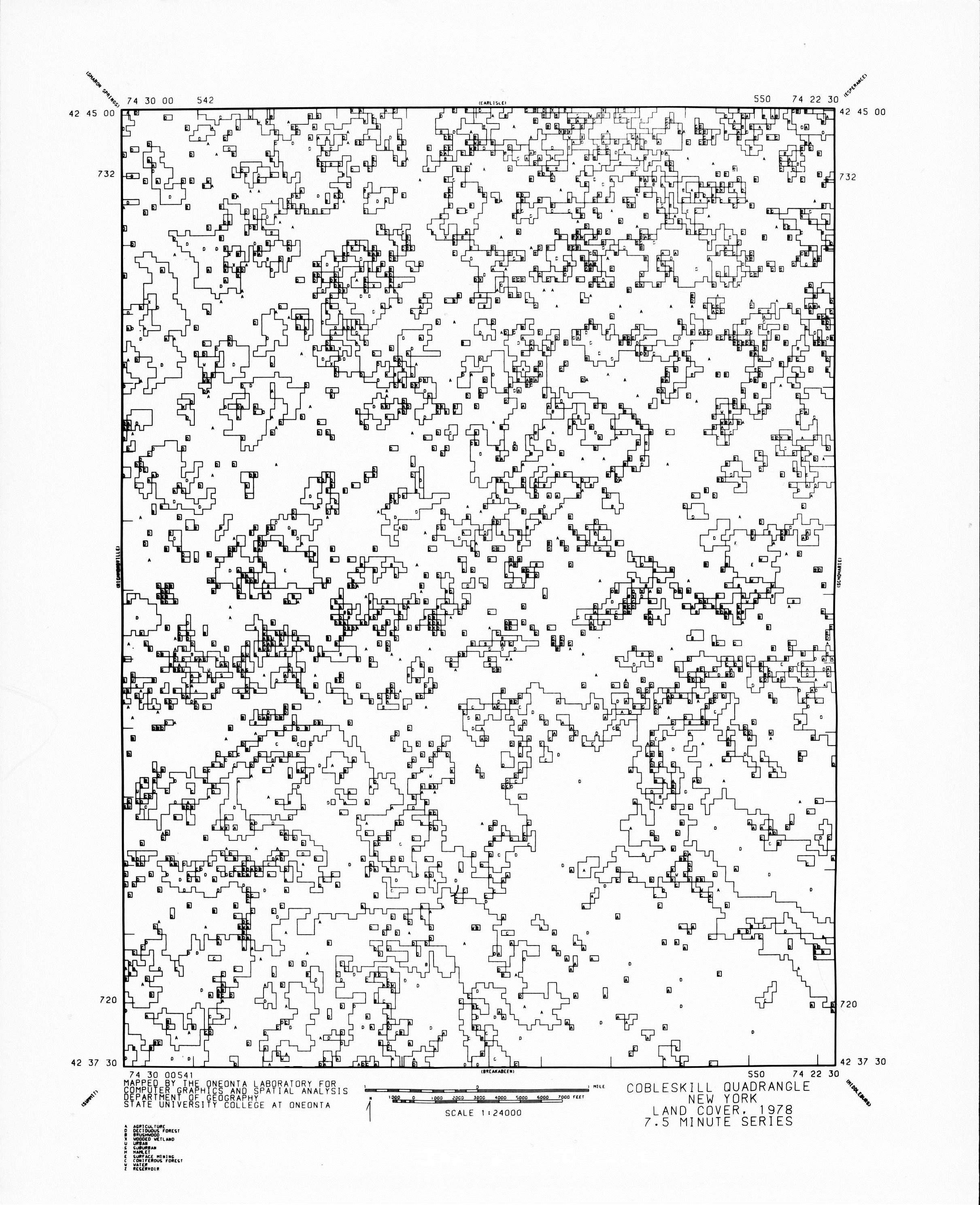
LANDSAT GENERATED 'LUNR' MAPS Proceedings of the Middle States Division of the AAG Vol. 17, 1983 Download PDF File |
 Paul R. Baumann
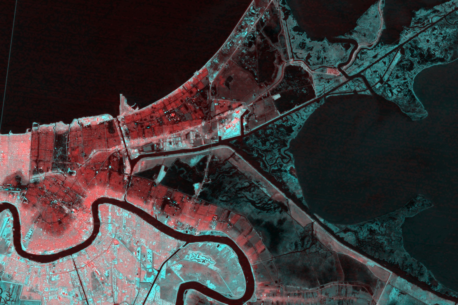
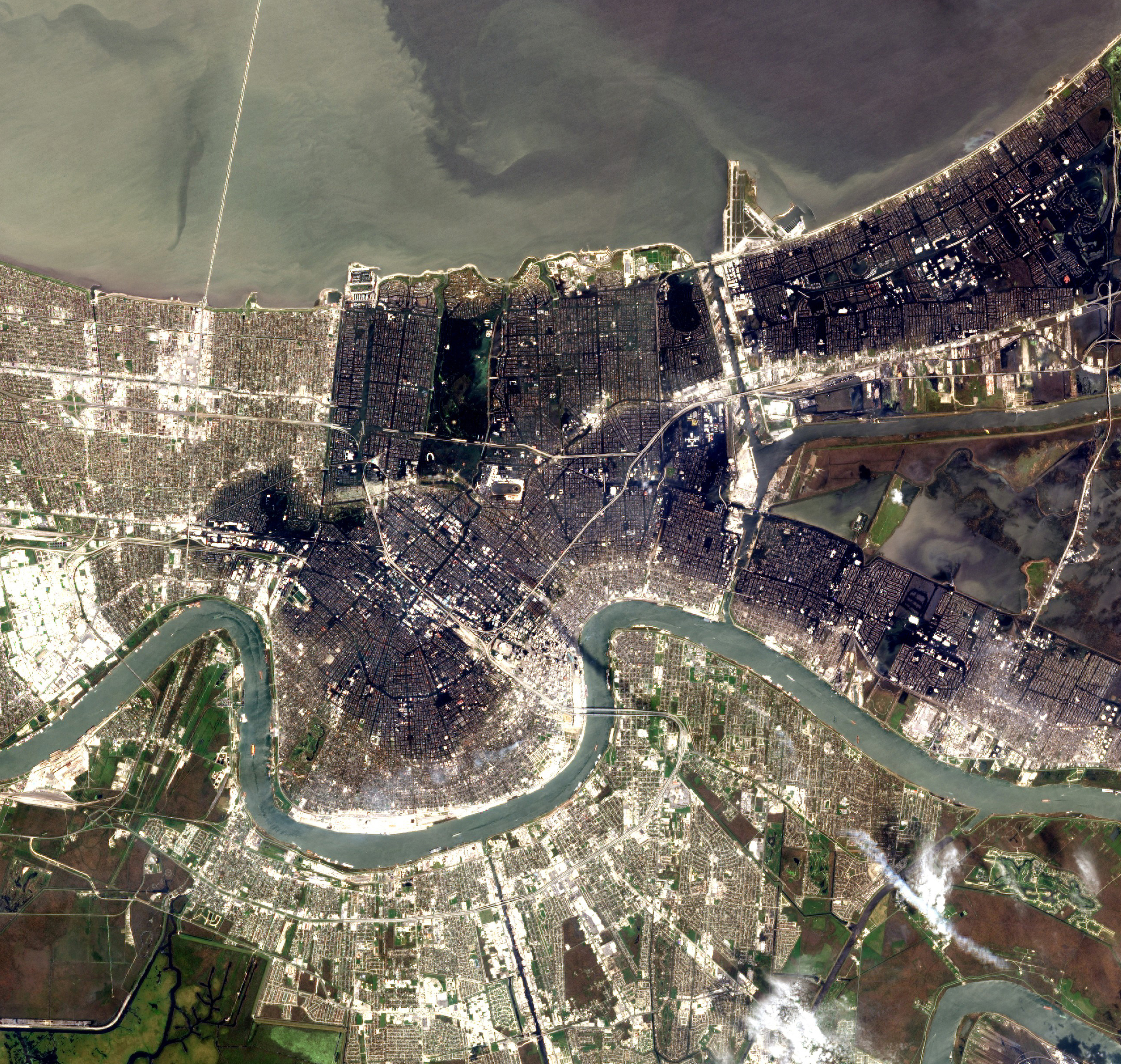
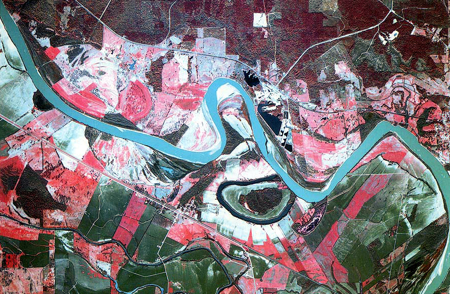
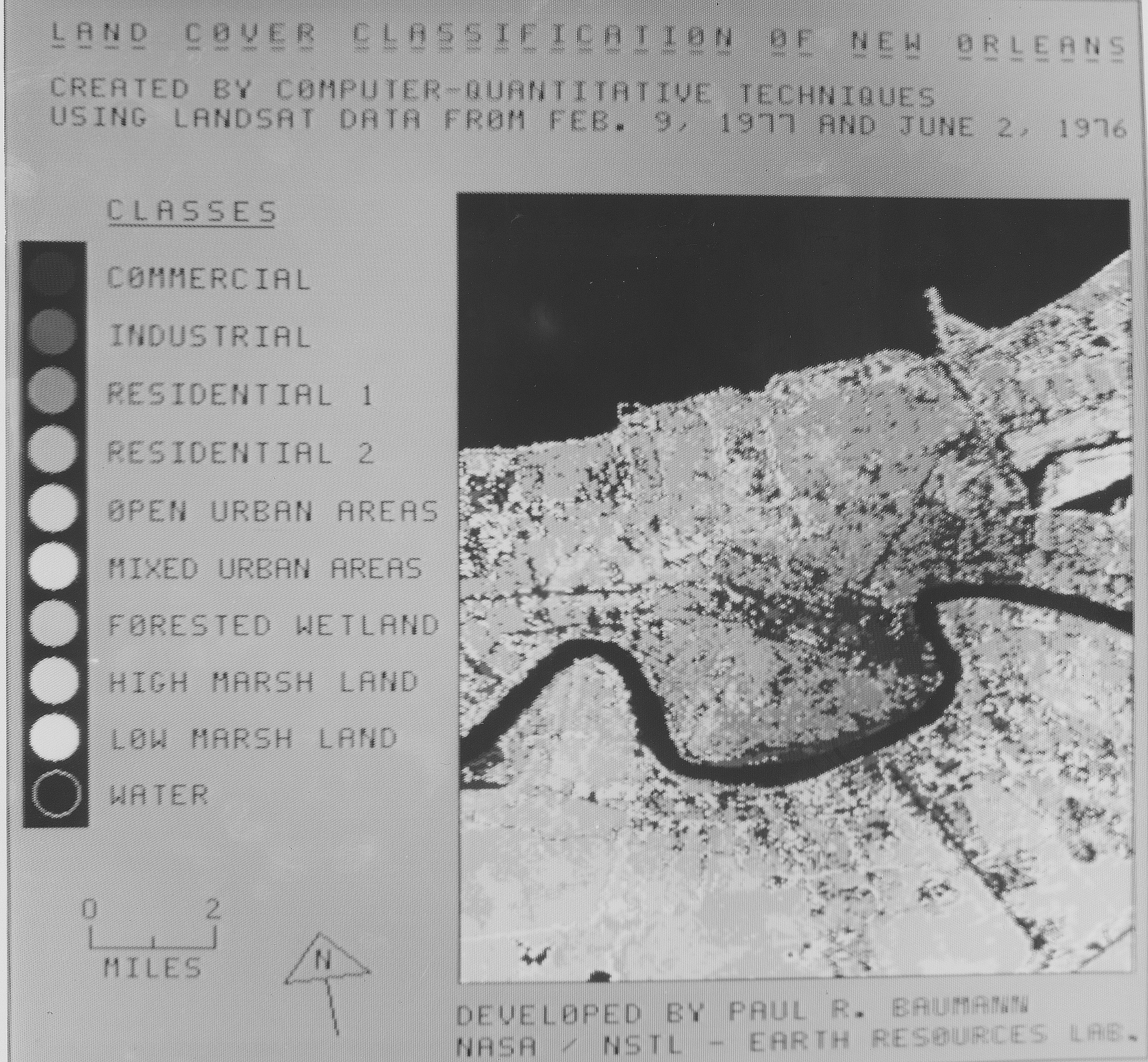
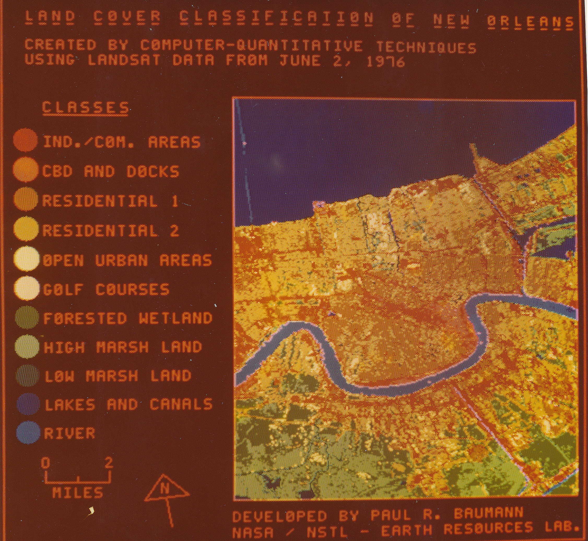
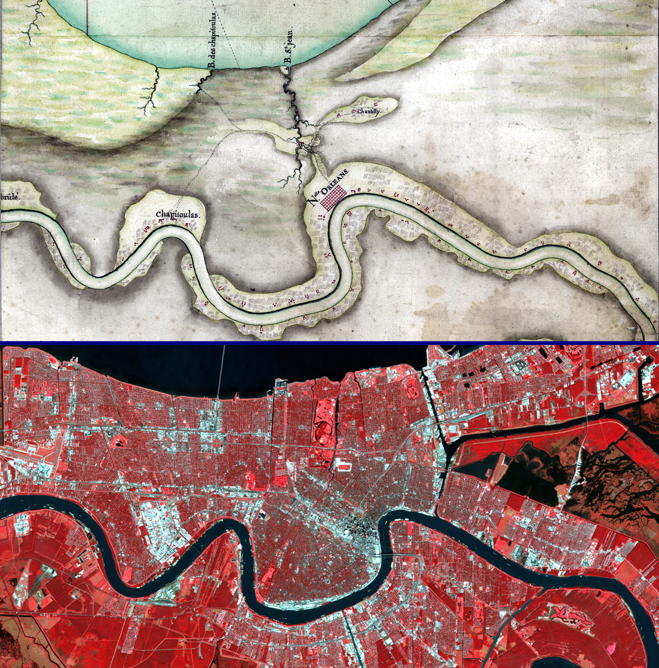
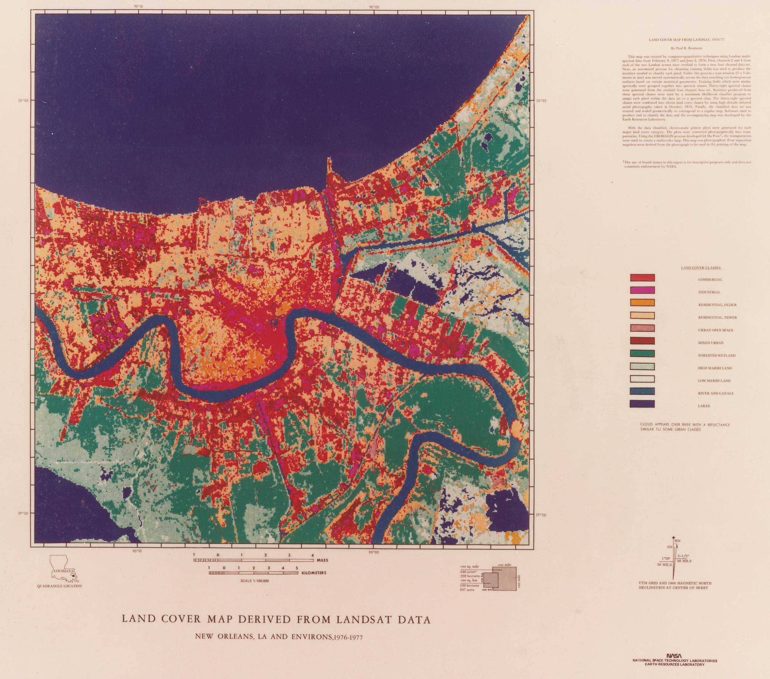
LAND COVER MAP DERVISED FROM LANDSAT DATA, NEW ORLEANS, LA AND ENVIRONS NASA Earth Resources Laboratory, Map, 1979, Visiting Scientist under a National Science Foundation Fellowship |
 Paul R. Baumann
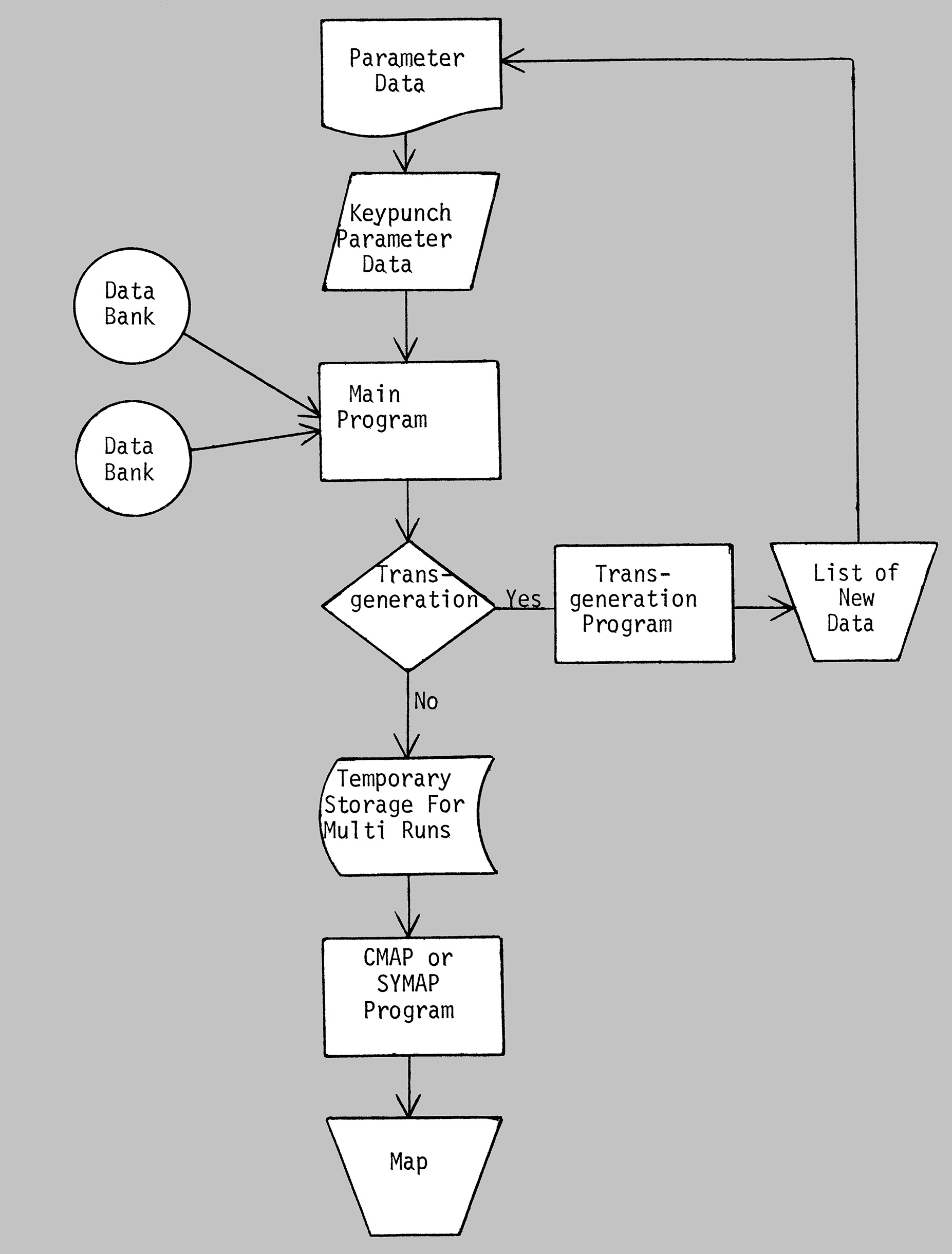
INTRODUCTORY MANUAL IN THEMATIC MAPPING National Science Foundation Sponsored Project, Dartmouth College and David McKay Company, 1977 |
|
Paul R. Baumann
SORG: A COMPUTERIZED MODEL FOR TEACHING SPATIAL ORGANIZATION The Professional Geographer, February 1976, Vol.28 |
 Paul R. Baumann, David J Beevers, and James R. Muller
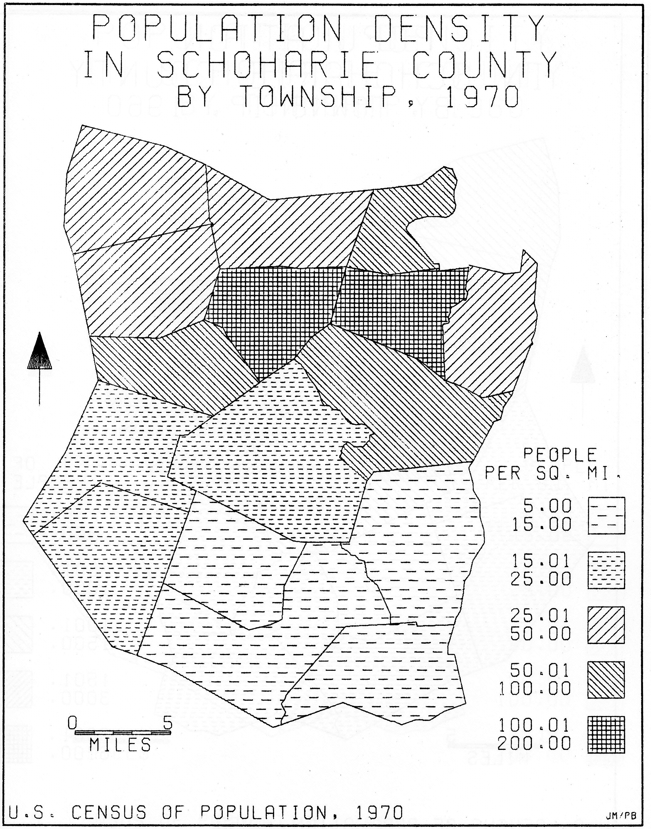
ATLAS OF SCHOHARIE COUNTY Download PDF File Schoharie County Planning and Development Commission, New York, 1976 |
 Paul R. Baumann
COMPUTER BASED INSTRUCTIONAL SYSTEM ON MAPS Journal of Geography, March 1975, Vol. 74 |
|
Paul R. Baumann
AUTOMAP II Geographical Review, July, 1974, Vol. 64 |
|
Paul R. Baumann
COMPUTER AIDED INSTRUCTION IN TEACHING MAPPING Proceedings Of a Fourth Conference on Computers in thr Undergraduate Curricula, The Claremont Colleges, Claremont, California 1973 |
|
Paul R. Baumann
SOME SUGGESTIONS TO PORSPECTIVE AUTHORS OF COMPUTER ASSISTED INSTRUCTION UNITS Proceedings Of The Conference on Computer Applications In Geography, S.U.N.Y. at Albany, 1973 |
 Paul R. Baumann and Charles W. Woolever
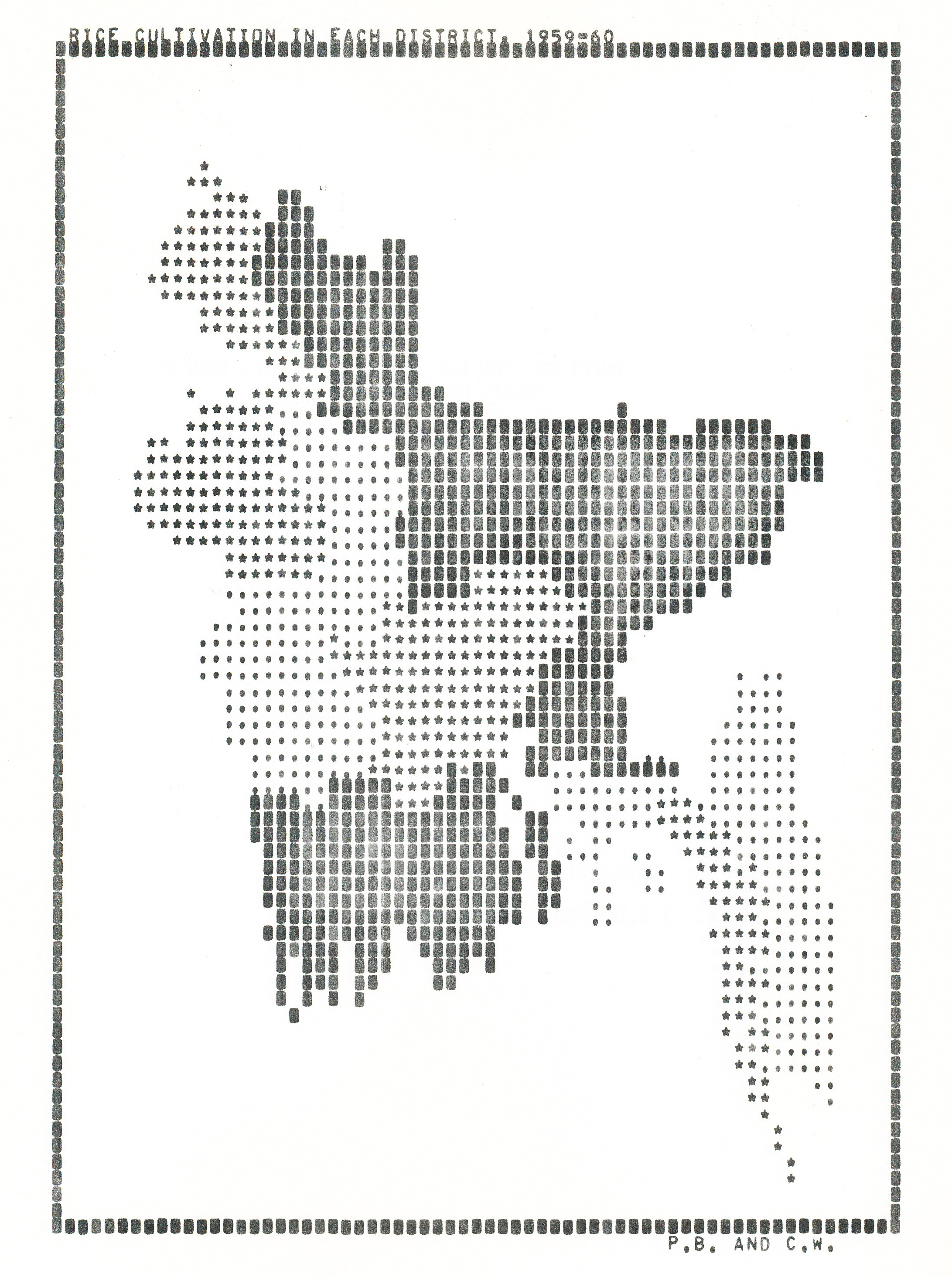
COMPUTER ATLAS OF BANGLA DESH Download PDF File Publications in Geography, Department of Geography S.U.N.Y. at Oneonta, 1972, Revised 1973 |
 Paul R. Baumann
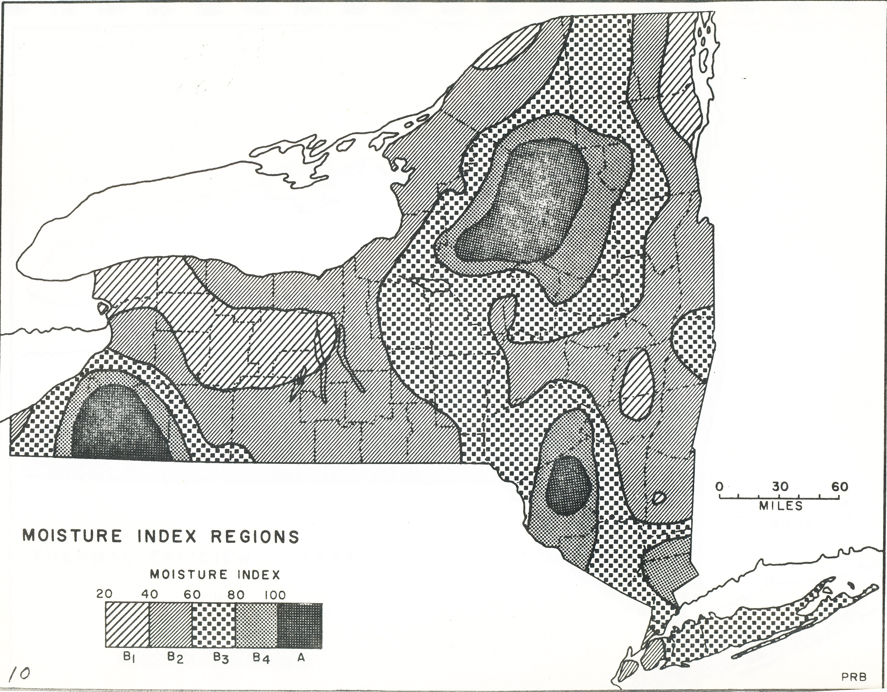
WATER ATLAS OF NEW YORK STATE Publications in Geography, Department of Geography S.U.N.Y. at Oneonta, 1971 |
|
Paul R. Baumann
COMPUTER ASSISSTED INTRUCTION PROGRAMS IN GEOGRAPHY: FIVE CLIMATE PROGRAMS Publications in Geography, Department of Geography S.U.N.Y. at Oneonta, 1970 |
|
Paul R. Baumann
INTRODUCTION TO GEOGRAPHY: LABORATORY EXERCISES Wm. C. Brown Company, 1969 |
Copyright © - Paul R. Baumann 2018, All rights reserved.