METR
361
Spring,
2018
Final
Exam
Directions:
This
is an
Open-notes
exam. Use anything you want, including the
Internet. You
can’t ask
each other questions but you can ask me for clarifications (no
guarantee that
I’ll be able to answer). Loops are PowerPoints. Use
the
arrow keys to move through the images. Answer all parts of
all
six questions in the blue
books except where you are directed to draw on the paper copies. If you
like,
you may instead send me (Jerome.Blechman@oneonta.edu)
your electronic answers in a text,
Word, or Open Office Writer (.odt)
file.
You have 2 1/2 hours.
1.
For this question, click on the surface
observation map from the
northern U.S. plains.
You also have a single IR
satellite
image.
a.
( 4%) Grand Forks, ND is marked GFK and with an arrow on the observation
map
and a text
list of surface observations is also provided. They appear to
be having a
blizzard. Are the
observations shown for
KGFK on the map real or an ASOS error?
How do you know? Use the text list and satellite image
in your answer.
b.
( 4%) In Minnesota the observation map
shows reports of snow, freezing rain, freezing fog, and unknown (mixed)
precipitation in the same area as two stations are reporting a
thunderstorm at
37°F and lightning at 28°F. If the thunderstorm and
lightning reports are
really happening, provide a short explanation of how you can have
convection
during such winter-like conditions. You don’t have to prove
it, just provide a
possible explanation. Please don’t simply say thunderstorms
can happen in
winter.
2.
This Spring a storm shown in the NAM
forecast package initialized at 00Z on March 29 tracked from western
Canada to
the Great Lakes in three days. You
can
see this in the 24,
48, and 72 hour
forecasts of MSLP/1000-500 mb thickness and
the 24,
48, and 72 hour
forecasts of 300 mb heights/isotachs.
You also have surface progs for the 24
hour
forecast, the 48 hour forecast, and the 3 day
(72 hour) forecast.
a.
( 3%) Fargo,
ND lies in the path of this storm.
Its location is marked on the cities
map found here (click).
On
the 48
hour 300 mb forecast, what quadrant of the jet stream is
Fargo
in?
b.
( 9%) What sequence of weather events from 00Z March 29
through 00Z April 1 would you forecast for Fargo? Identify any forecast
weather
that you think is important to the people of Fargo during that time
period and
be sure to note what date that weather will happen. It
might help if you know the type of
extratropical cyclone forecast to occur.
3.
In December 2017 there was a very
powerful storm that began as a lee-side cyclogenesis in the High Plains
of the
U.S. on December 3. The
NAM which was
initialized from 12Z data on December 2 is represented by MSLP/precipitation/1000-500
mb thickness
forecasts of 24, 48,
and 72
hours. You also have 300
mb height/isotach
forecasts at the 24, 48,
and
72
hour timeframes, U.S.
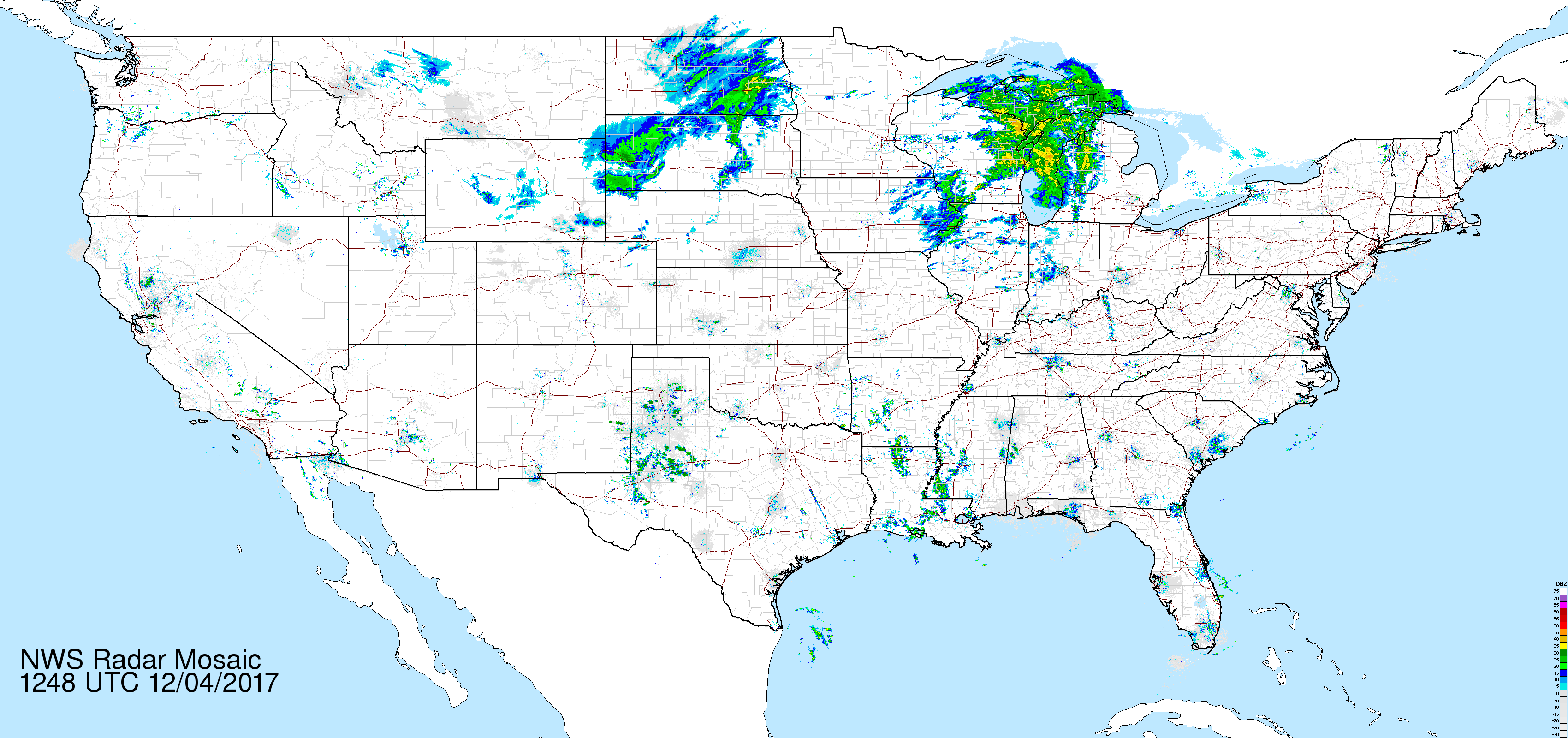
Radar “snapshots” at 1248Z on Dec 3, Dec
4, and Dec
5, and IR satellite images around 12-13Z on Dec 3,
Dec 4,
and Dec
5.
a. ( 9%) Make a rough assessment of the NAM MSLP 72 hour forecast by comparing it to the surface verification map for December 5. Don’t be too detailed about this but you must assess the accuracy of sea level pressure, thickness, and precipitation. Since the verification doesn't show precipitation, find another way to estimate the precipitation that actually fell..
b.
( 4%) The sea level pressure minimum for this storm goes from an
average
pressure around 1000 mb on December 3 to a 974 mb low by December
5. Is that
considered explosive cyclogenesis?
Why
or why not?
c.
( 6%) What physical processes in the upper troposphere caused the changes from part b to happen? Do not attempt any
calculations.
d. ( 6%) The GFS 120 hour MSLP/Thickness forecast was not very accurate. How would the differences between that 120 hour forecast and the 00-hour initialization affect the northern Plains (ND, SD, MN), the upper midwest (WI, MI), and western Ontario? Don't discuss each state. Just focus on how the actual weather would be different from the forecasts for the entire region.
4.
You are the lead forecaster in a
weather office located in New York City.
The GFS 120 hour forecasts of MSLP,
850 mb,
700 mb,
500 mb,
300 mb,
and
200 mb
clearly show a big coastal storm.
a. ( 6%) On the paper map closeup of the northeast U.S. for the 120 hour MSLP/Thickness, draw the fronts that the GFS was not able to. Your fronts must be in the proper positions, assuming the GFS 120 hour forecast is exactly correct. Note that forecast 3-hour precipitation has been removed from the paper map. It’s on the original forecast.
b.
( 8%) Make a forecast of temperature, (sustained) wind speed, wind
direction in
degrees, and precipitation type in the three hours up to the
map time. Your forecast location is the ASOS in Central Park in New York City.
It's marked on the North
America map. Just list these four numbers and go on
to the next part where you explain
them.
5.
For this question, please use the
following NAM 36-hour forecast products for 00Z on an unspecified (but
real)
day: MSLP/1000-500 mb thickness, MSLP/2
m temperature/10 m winds/6 hr precip,
850 mb height/temperature, 850
mb height/RH, 700 mb height/RH,
500
mb height/vorticity, 500
mb height/temperature,
300
mb height/wind, and 200
mb height/wind.
a.
( 8%) Severe thunderstorms occurred at or near the 00Z time shown on
these
forecast maps. List
the states which
should get at least one severe thunderstorm event as defined by SPC,
based on this guidance.
(rubric: you lose 0.5% for every state named which did not have severe
weather
and lose 0.5% point for every state which reported severe weather but
was not
named in your answer. Minimum points = 0). Here is a map of states. Please use the two-letter
abbreviations.
b.
( 9%) The 00Z sounding for Nashville, TN from
Twisterdata.com may or may not
have supported severe thunderstorms. If those did occur, what type(s)
of severe
weather are indicated by this sounding?
Briefly explain your reasoning for each severe weather
type, based on
features from the sounding.
6.
This question refers to loops of maps
from last August. You
have a surface
map
loop, a U.S.
radar loop (big!) and the Infrared satellite loop, all from
August
14-16, 2017. Find the following features on any map.
Specify the date/time of the map you choose
(you can choose different maps for each of the features to be found). Describe the location of
your feature
sufficiently that I can find it:
a.
( 2%) Multiple air mass thunderstorms in one contiguous area
b.
( 2%) a Single thunderstorm, probably not severe
c.
( 2%) A Mesoscale Convective System, possibly an MCC
d.
( 2%) Nonconvective precipitation associated with a front and Low
Notice
these are all fairly short answers.
7.
Here’s a visible satellite loop from two
weeks ago. There are thunderstorms shown in this loop in
Texas. Individual
thunderstorms cannot be predicted, given the current state of our
numerical
forecast models.
a.
( 4%) Why can’t the models predict thunderstorms? Make this
short and to the
point. Hint: how big is a thunderstorm?