|
|
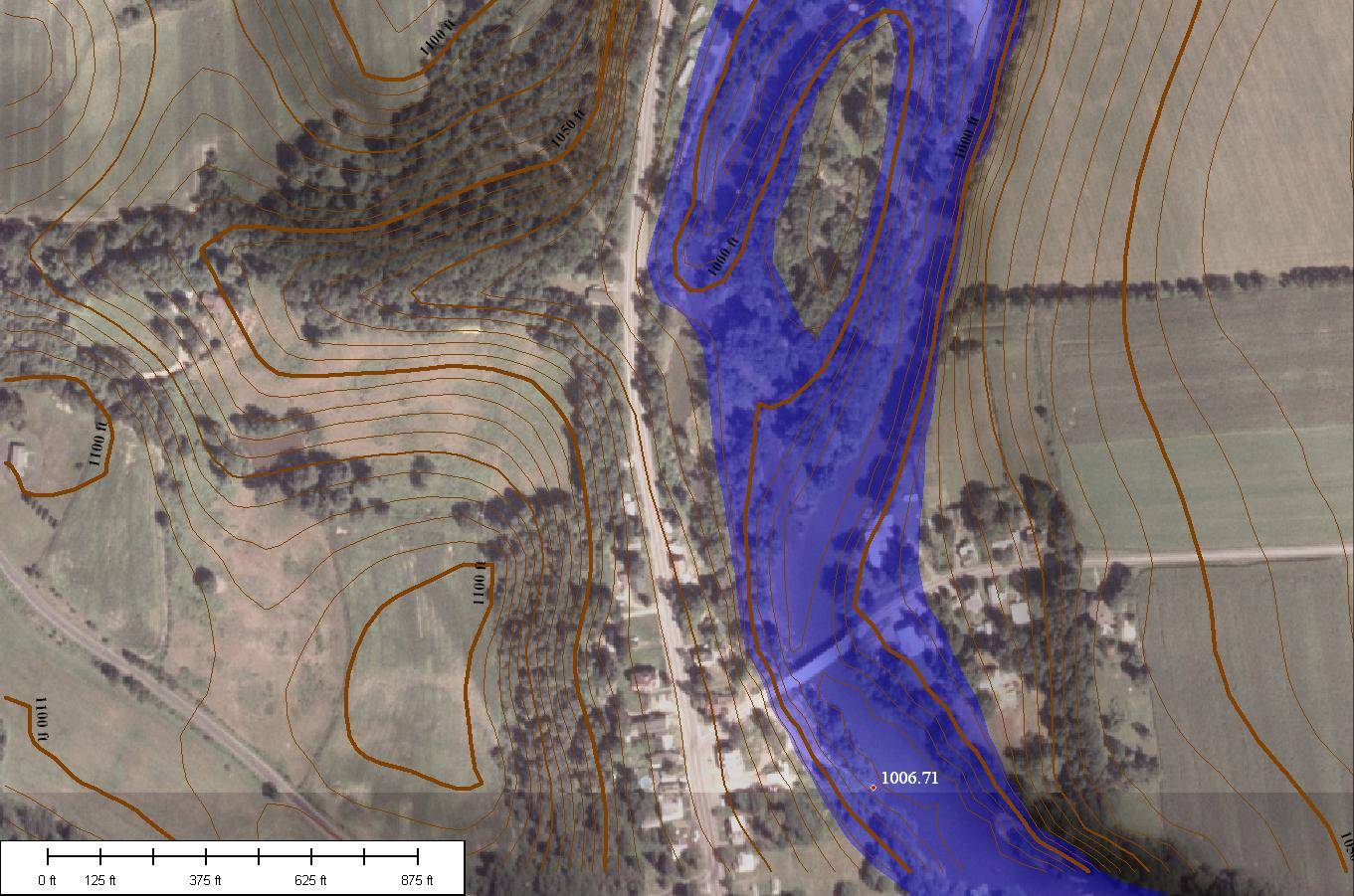
Unadilla
River at Rockdale, New York |
|
Back
to 2006 Flood Introduction SUNY Oneonta home Otsego County’s June 2006 Flood Data,
with flooded areas for the main valleys, road closures, etc. Dartmouth’s flood map for the
2006 flood |
Map of
Rockdale, New York. Contour interval
is 5 feet. Air photo is from National Aerial Imagery Program, 2005-2006.
Topography is from USGS 1/3 arc second elevation data. |
|
Data
source for
flood height (1006.71 feet above sea level): USGS gage data for peak flow
stage added to gage datum. Gage is located at the 1006.71 red dot marker. |
|
|
Page maintained by Les Hasbargen:
hasbarle@oneonta.edu |
|
