|
|
Mapping of known/estimated 2006 flood heights in Otsego
County, NY |
|
Flood
Mapping Agencies Otsego County’s June 2006 Flood
Data, with flooded areas for the main valleys, road closures, etc. Dartmouth’s
flood map for the 2006 flood, derived from MODIS satellite imagery Flood
heights and maps Back to 2006 Flood Introduction SUNY Oneonta home |
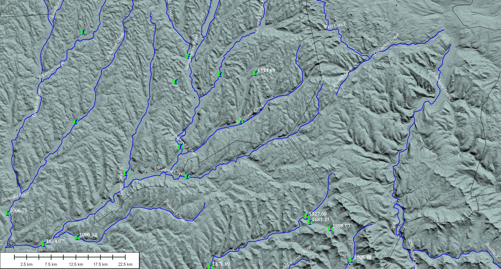
Flood
heights can be derived from USGS gage station records (of which there are very few, unfortunately—note
the gage locations with red dots are the only ones active during the 2006
flood), georeferenced photographs of flood heights, and surveyed heights of
flood debris. Otsego County’s GIS office provides map resources that show the
spatial extent of flooding. Such
efforts document the substantial amount of flooding that hit most of the
larger valleys. I
have used photographs of flood waters to estimate flood extent at a few
locations (see the Laurens
map and others in the links at left). I coupled the photographic evidence
with the National Elevation Dataset layer from the USGS to map the flood
extent in a GIS software (Global Mapper). I halted my initial efforts at this
sort of mapping, as the limitations of the underlying USGS topography became
apparent (see Topographic limitations).
My
efforts focus on reconstructing flood surfaces in the smaller tributaries
(see Silver
Creek, SUCO campus and my recent poster on
flood mapping), relating flood heights with channel bed roughness, and
characterizing the strength of the flow with regards to cobble and boulder
transport. Each of these areas admittedly are somewhat academic, especially
when no property is under threat from erosion or inundation, but understanding
the underlying hydraulics and stream processes is extremely important for
river management. This flood offers an extraordinary view into such processes
during very high flows—something we rarely get a good look at. Thus, I intend
to map as much this flood’s effects as possible before the evidence fades. |
|
Page maintained by Les Hasbargen:
hasbarle@oneonta.edu Page
Initialized in May 2008 |
|
